
Dog Mountain Trail: Quick Info
Where the Trail Starts
The Dog Mountain trailhead sits inside Mount Seymour Provincial Park, at the far end of the main day-use parking lot at the top of Mount Seymour Road. The embedded map below centres on the park entrance to help with route planning.
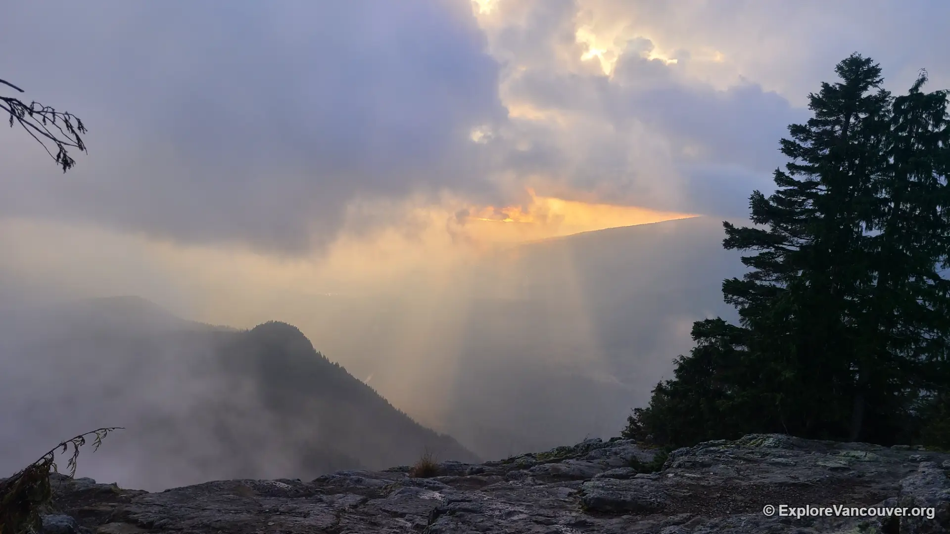
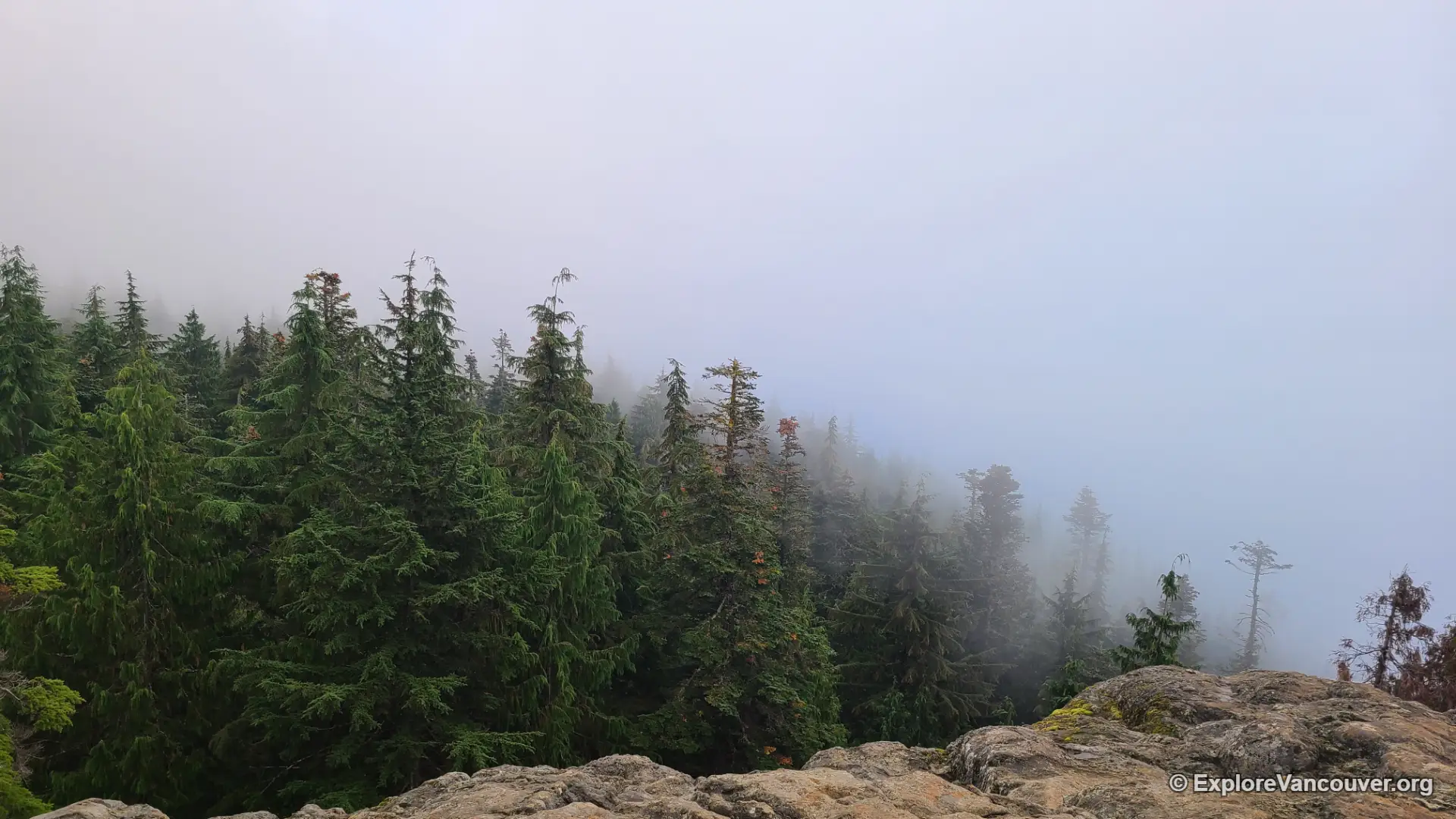
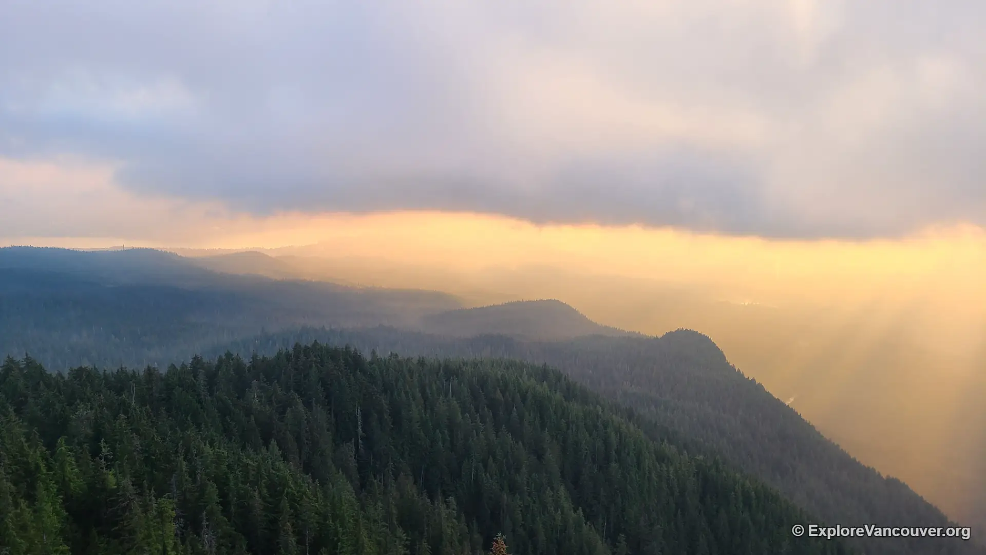
Dog Mountain in Pictures
Getting to the Dog Mountain Trailhead
Most visitors reach Mount Seymour Provincial Park by crossing the Ironworkers Memorial (Second Narrows) Bridge, then following Mount Seymour Parkway east before turning onto Mount Seymour Road at the light beside Parkgate Village. From there, the road climbs steadily for roughly 13 km through switchbacks, gaining most of the elevation that hikers would otherwise have to walk. That detail matters for Dog Mountain: because the drive already sits close to 1,000 m above sea level, the trail itself has very little net climbing left to do.
Once at the top, park in the main day-use lot. The Dog Mountain trailhead is at the far end, past the day lodge and the base of the Mystery Peak Express chairlift, marked by a BC Parks signpost. Several other trails, including routes toward Mount Seymour’s main peaks, start from the same general area, so it is worth reading the signage carefully before setting off. A large trail map posted by Metro Vancouver near the start is a useful checkpoint to confirm you are on the right path.
The Walk to First Lake
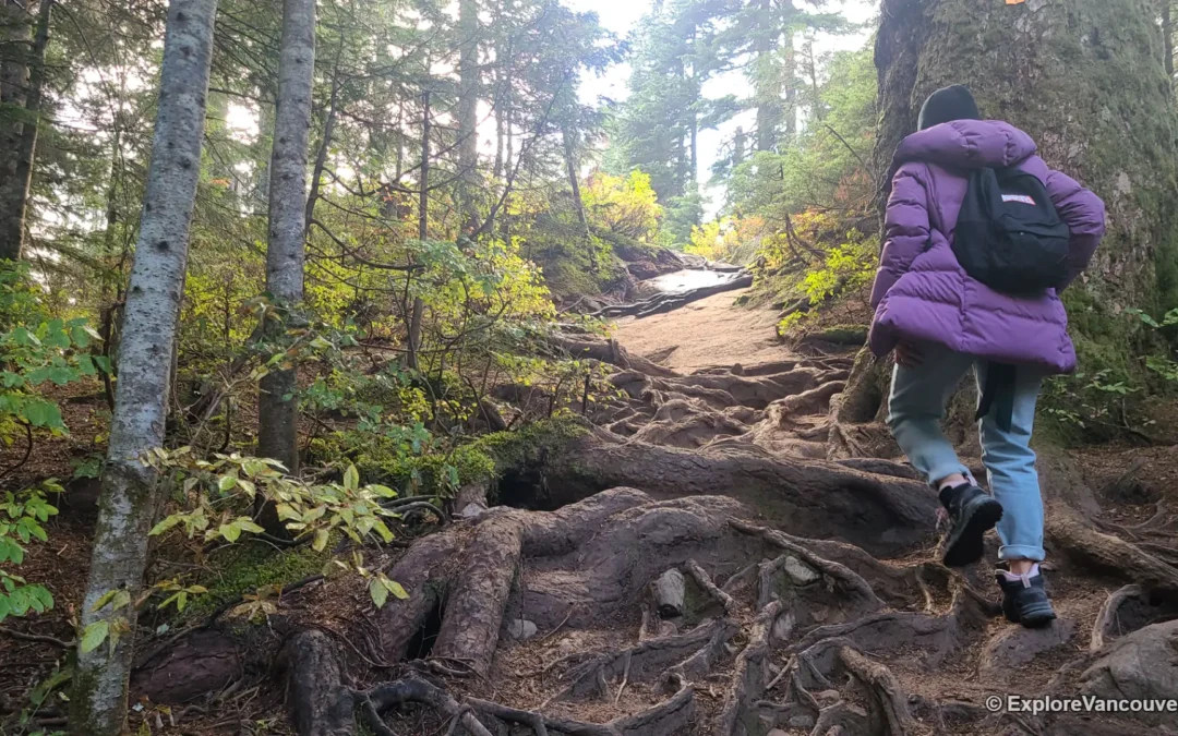
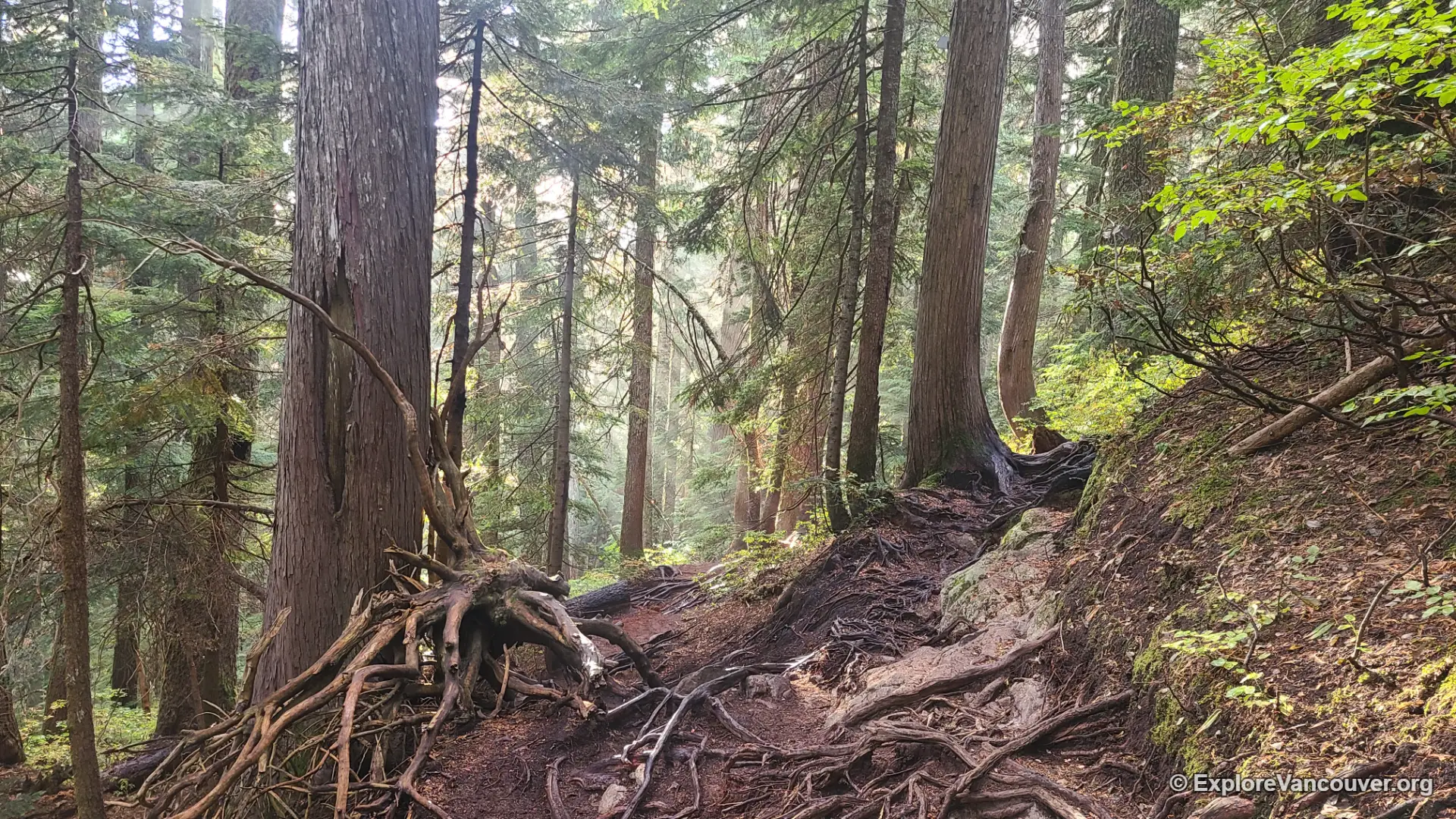
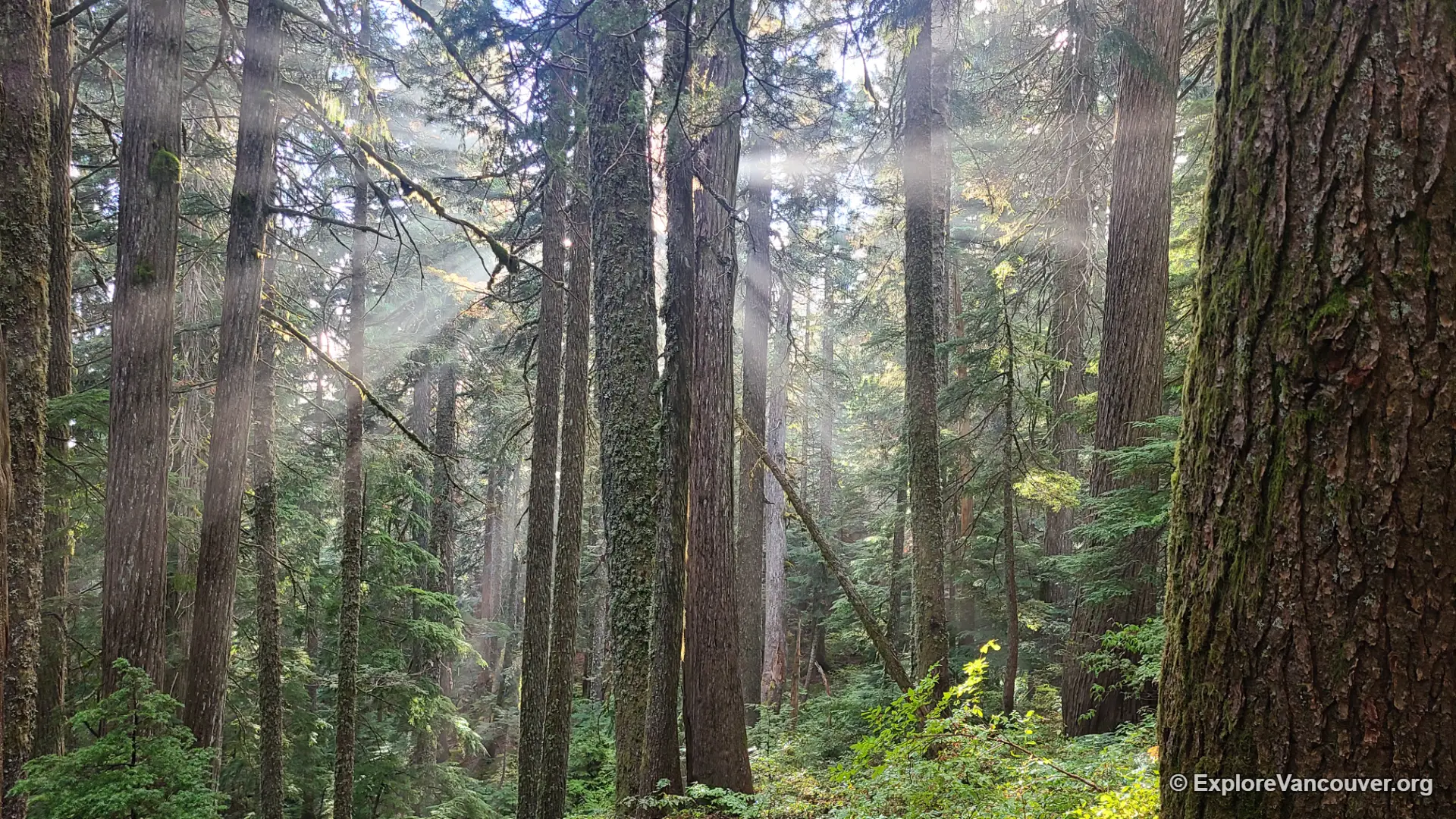
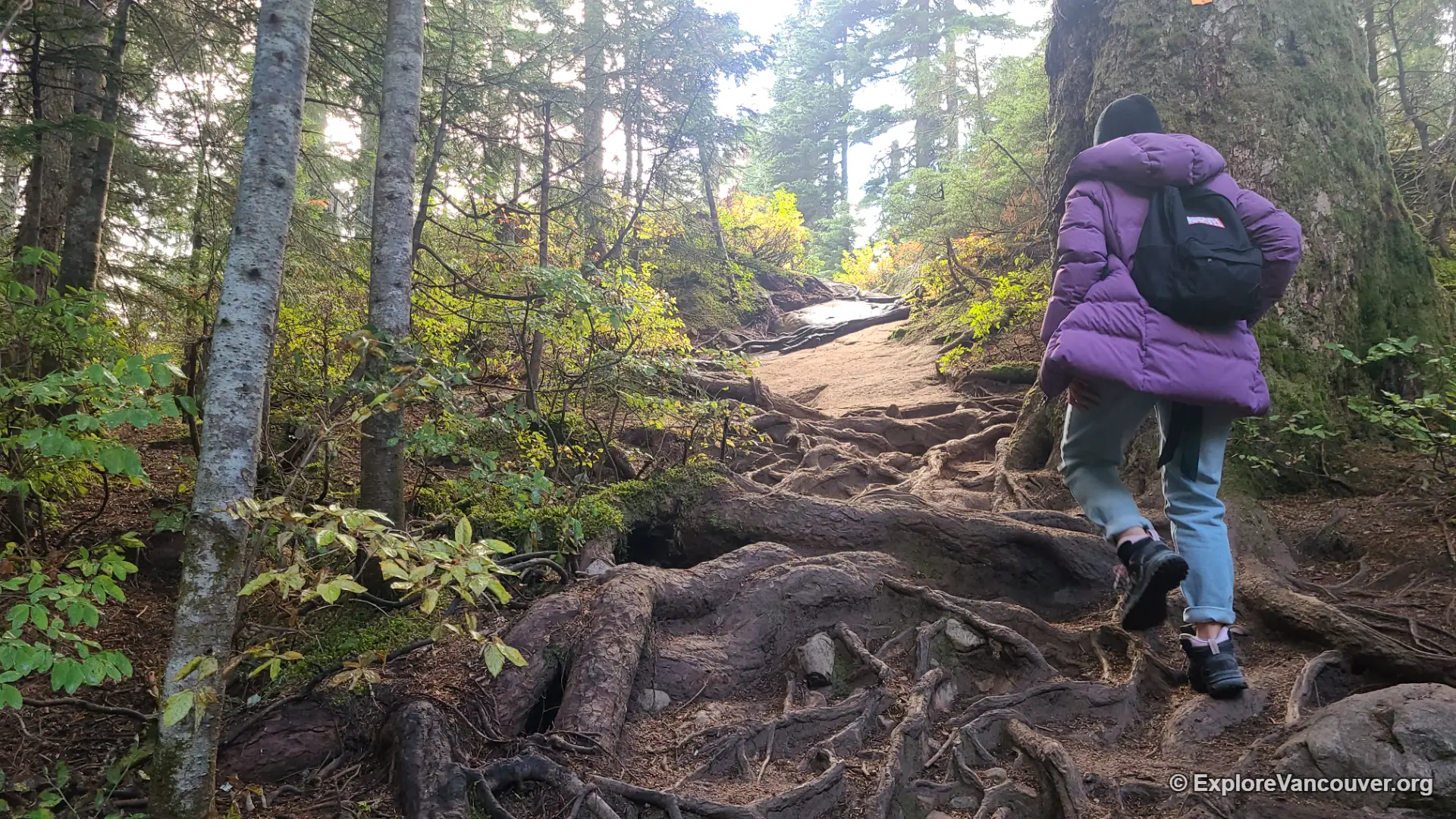
The first stretch of trail is well-groomed gravel, easy underfoot, and shaded by hemlock and amabilis fir. Within the first few hundred metres, the path crosses a small wooden bridge over a creek before narrowing into forest. Roots begin to show up here and there, a preview of the terrain further along.
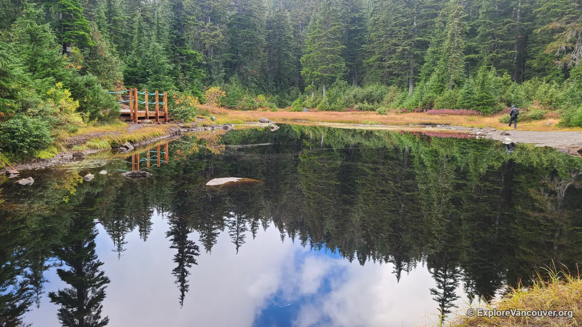
About a kilometre in, the trees open onto First Lake, a shallow subalpine pond that most hikers treat as an informal halfway marker. A short boardwalk section runs along part of its edge, and on calm days the surrounding trees reflect clearly across the water. This is also where route-finding needs a little attention: a side trail near the lake continues toward Mount Seymour’s higher peaks, so hikers aiming for Dog Mountain should keep following the signed junction rather than the busier-looking fork.
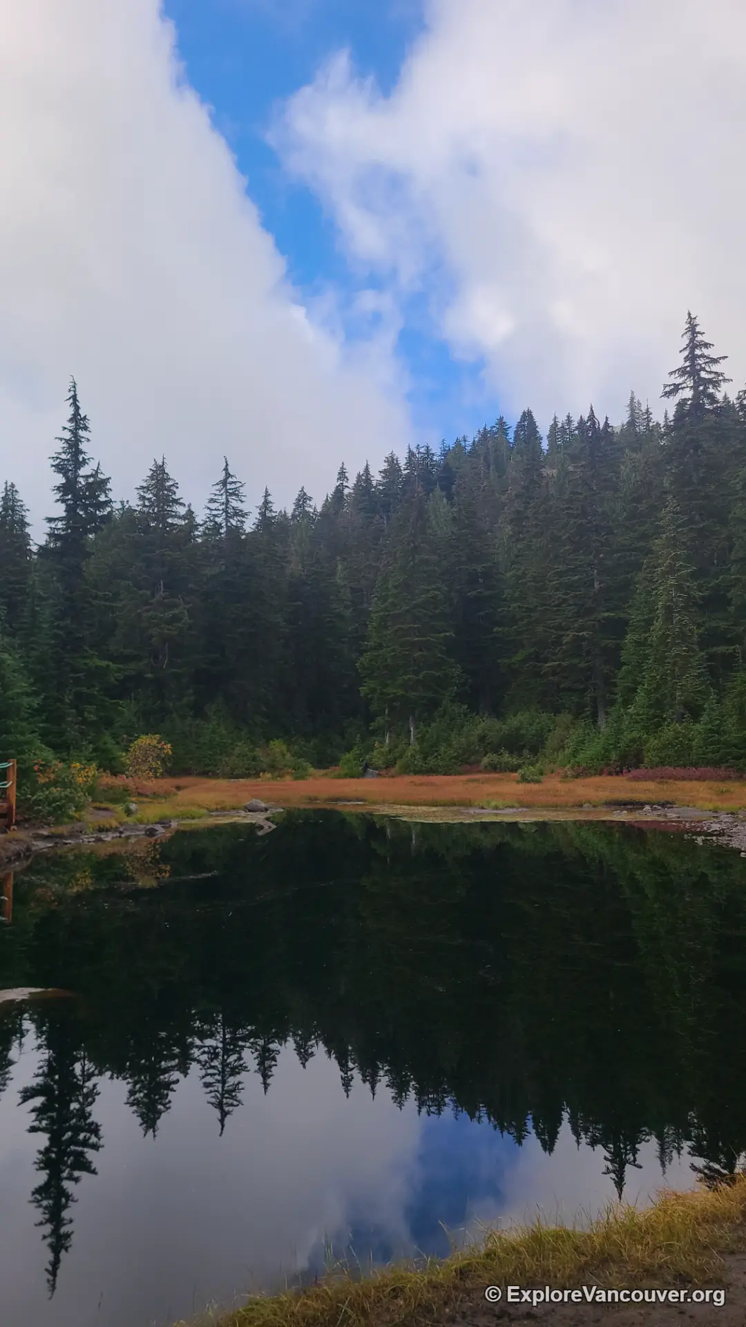
From First Lake to the Summit Bluff
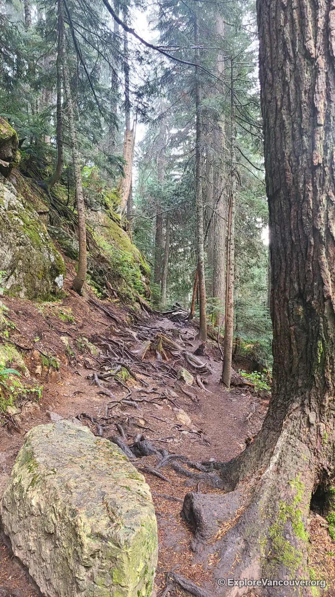
Past First Lake, the trail changes character. The gravel gives way to a mix of exposed roots, rock steps, and a few short boardwalk sections over boggy patches and small tarns that can stay partly frozen well into the season. None of it is steep, but the constant up-and-down over uneven footing is the main reason review sites rate this hike as moderate rather than easy, even though the net elevation change is small.
The forest here thins gradually, and the last few hundred metres feel noticeably more open than anything before it. There is no dramatic final push, just a steady shift from tight subalpine forest to low shrubs and exposed rock as the trees thin toward the bluff.
The Summit Viewpoint
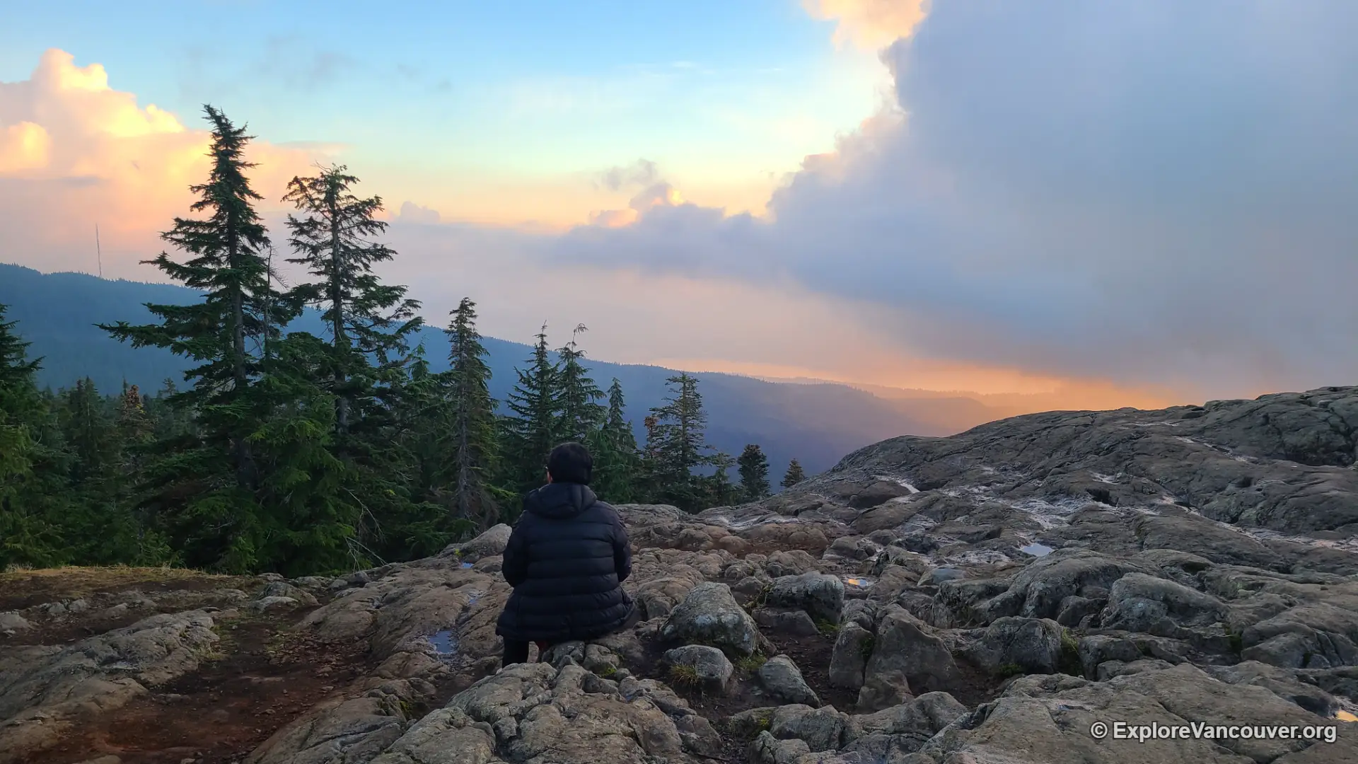
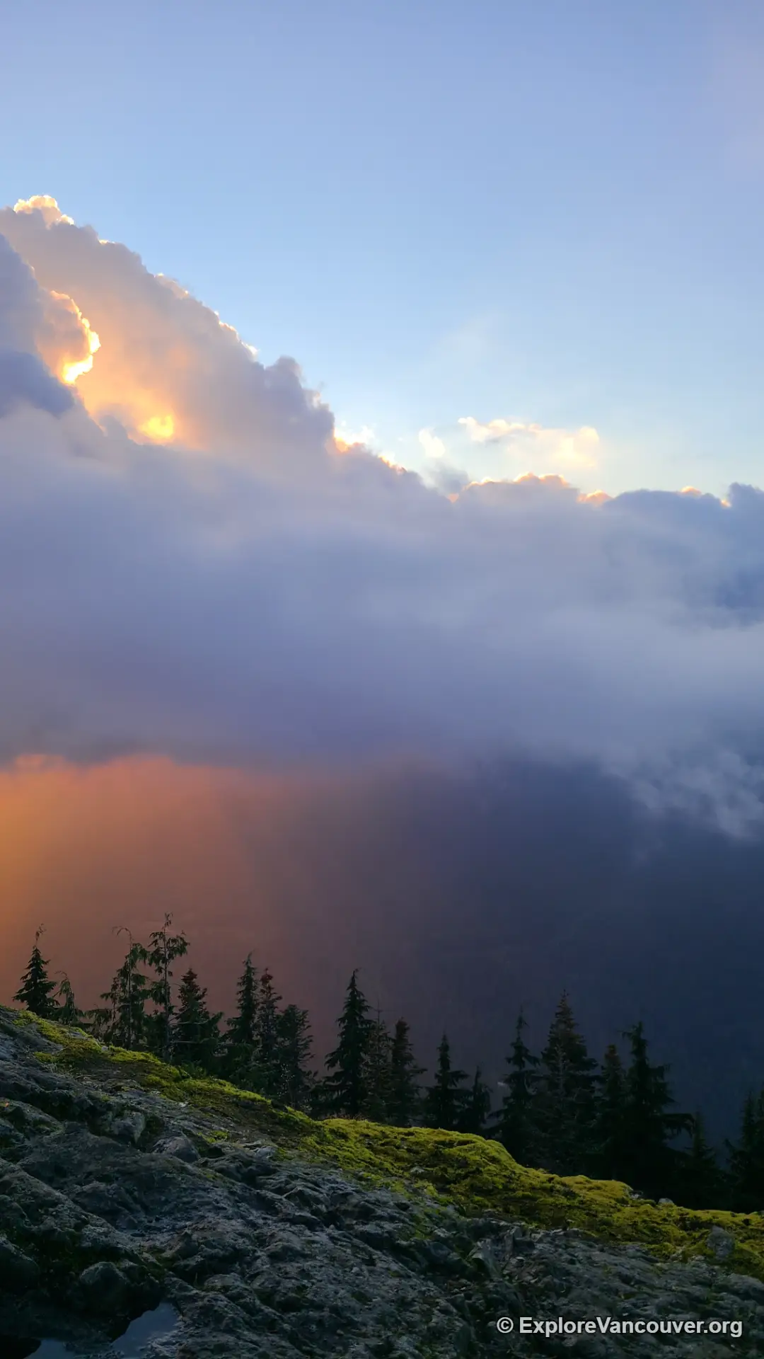
Dog Mountain has no summit marker or fenced platform, just a wide rock bluff that opens onto a sweeping view south and west. On a clear day, the outlook takes in downtown Vancouver, Burrard Inlet, Stanley Park’s peninsula, and the Strait of Georgia, with Mount Baker visible on the horizon to the southeast and the Fraser Valley spreading out below. It is one of the more accessible alpine-style viewpoints on the North Shore, reachable without any scrambling or exposure.
Because the bluff is broad and mostly flat, it comfortably holds a crowd, which is common on weekends and holidays. Arriving early or picking a weekday tends to make for a quieter stop and an easier time finding a place to sit.
Trail Data at a Glance
Distance and elevation figures for Dog Mountain vary slightly between GPS trackers and route-planning apps, which is common on short trails with several small dips and rises. The table below pulls together the range reported across common trail-tracking sources, along with a few numbers that do not usually make it into a quick summary.
| Metric | Typical range |
|---|---|
| Round-trip distance | 5.0 to 6.0 km (3.1 to 3.7 mi) |
| Net elevation gain | 150 to 180 m (500 to 590 ft) |
| Cumulative climbing (all ups and downs combined) | Roughly double the net gain, closer to 300 to 420 m (1,000 to 1,400 ft) on GPS-logged tracks |
| Trailhead elevation | About 1,000 to 1,020 m |
| Summit elevation | About 1,054 m |
| Average moving time | 1.5 to 2 hours round trip |
The gap between “net gain” and “cumulative climbing” is the most useful thing to understand before setting out. Because the trailhead already sits only about 30 to 50 m below the summit, the net elevation change looks small on paper. But the route does not climb in a straight line. It rolls over a series of short humps and dips the whole way, which is why GPS trail computers often log two to three times more total climbing than a simple start-to-finish elevation comparison would suggest, and why the constant foot placement over roots tends to tire people out more than the numbers imply.
The parking lot at the top of Mount Seymour Road fills quickly on sunny weekends, especially once the summit view becomes a popular sunrise or sunset stop. Arriving early in the morning or hiking on a weekday generally means an easier time parking and a quieter summit.
Hiking Dog Mountain Through the Seasons
Dog Mountain is hiked year-round, and the trail changes noticeably with the seasons. In summer and early autumn, expect dry, root-covered ground and the busiest foot traffic of the year. Spring and late autumn tend to bring mud in low spots, particularly around First Lake, so footwear with real tread is worth packing regardless of the forecast.
In winter, Dog Mountain becomes one of the North Shore’s most popular snowshoe routes. BC Parks maintains marker poles along sections of the trail to help visitors stay oriented if fog or fresh snow obscures the path, since the forest can look very different under a fresh layer of white. Traction devices are commonly used even by hikers who are not snowshoeing, since the packed snow on this heavily travelled trail tends to turn icy. Access to Mount Seymour Road itself can also be restricted overnight during the winter months, and a free BC Parks day-use pass is sometimes required for the upper parking lots on the busiest winter days. Both details change from season to season, so it is worth checking current conditions on the Mount Seymour hiking and backcountry page shortly before a winter visit.
Near First Lake, a side trail splits off toward Mount Seymour’s main peaks. Hikers aiming for Dog Mountain sometimes take this fork by mistake and end up on a longer, more strenuous route than they planned for. Follow the signed junction for Dog Mountain, and bring a downloaded map if you are hiking the area for the first time.
Hiking Dog Mountain With Dogs
Leashed dogs are permitted on the Dog Mountain trail, and it is common to see several on any given day, part of the reason the name feels so fitting. Local trail lore ties the name back to backcountry skiers in the area decades ago who brought dogs along for company on the ridge, though like a lot of trail-naming stories, it is passed down more than it is formally documented. Whatever the true origin, pack out waste bags and keep dogs on leash near the summit bluff, where the drop-off along the rock edge is enough to warrant caution.
The forest along the route also supports small wildlife worth watching for, including Pacific wrens, Douglas squirrels, and, less commonly, snowshoe hares near the higher, more open sections. Giving wildlife a wide berth is especially appreciated on a trail this well used.
The forest holds you close for almost the whole route, then lets go all at once, and Vancouver is suddenly laid out below like something you could reach down and touch.
Extending the Hike
Dog Mountain works well on its own as a short outing, but it also connects to longer days in the park for hikers who want more distance. Mystery Lake sits along a nearby route and pairs naturally with a Dog Mountain visit for those looking to add a second, quieter viewpoint. More ambitious hikers sometimes continue on toward Dinky Peak or the lower approaches to Mount Seymour’s main summits, though these extensions involve more elevation gain and rougher terrain than the Dog Mountain route itself, and are better suited to hikers already comfortable with the North Shore’s mountain trails.
Frequently Asked Questions
How long does it take to hike Dog Mountain?
Most hikers complete the round trip in about 1.5 to 2 hours, though slower groups or those stopping often for photos at First Lake and the summit can take closer to 2.5 hours.
Is the Dog Mountain trail suitable for beginners and kids?
Yes, with some caution. The distance and elevation gain are modest, making it one of the more approachable alpine-adjacent hikes near Vancouver, but the trail surface is uneven, with plenty of exposed roots and rocks. Sturdy footwear and reasonable care underfoot go a long way, especially for younger children.
Are dogs allowed on the Dog Mountain trail?
Yes, dogs are permitted but must remain on leash for the entire route, including at the summit bluff, where there is a drop-off along the exposed rock.
Do I need a parking pass or permit to hike Dog Mountain?
Parking in the main lot is free. On the busiest winter days, BC Parks has at times required a free reserved day-use pass for the upper parking lots. Since these requirements change by season, check the official BC Parks day-use pass page before a winter visit.
What can I see from the Dog Mountain viewpoint?
On a clear day, the summit bluff overlooks downtown Vancouver, Burrard Inlet, the Stanley Park peninsula, and the Strait of Georgia, with Mount Baker and the Fraser Valley visible in the distance.
Can I hike Dog Mountain in winter?
Yes, it is one of the North Shore’s most popular winter snowshoe routes. BC Parks places trail markers along the route to help with orientation in fog or fresh snow, and traction devices are recommended once the packed trail turns icy.
Keep Exploring North Vancouver
Dog Mountain is just one of several nature escapes on the North Shore. Round out your visit with these nearby spots: