
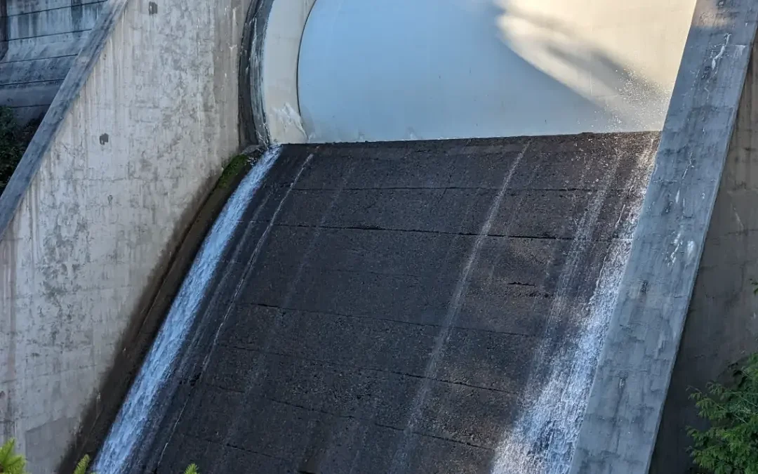
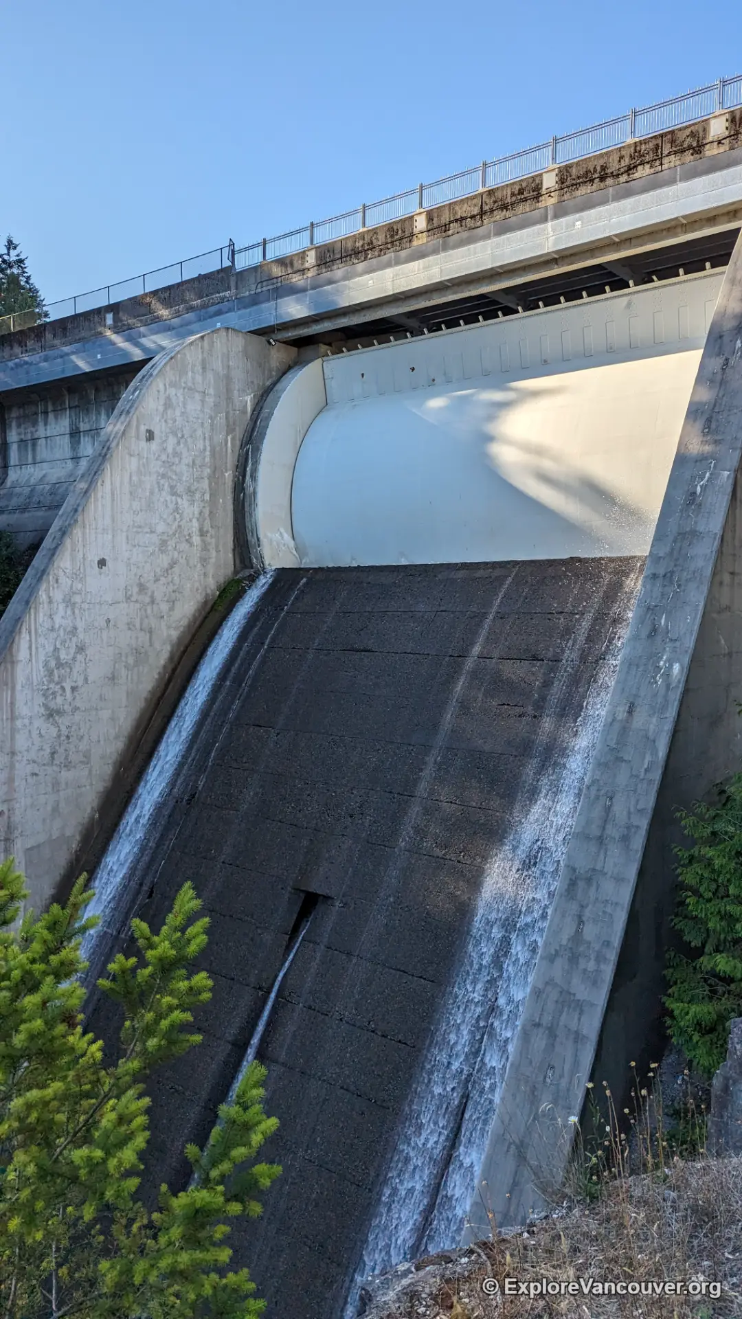
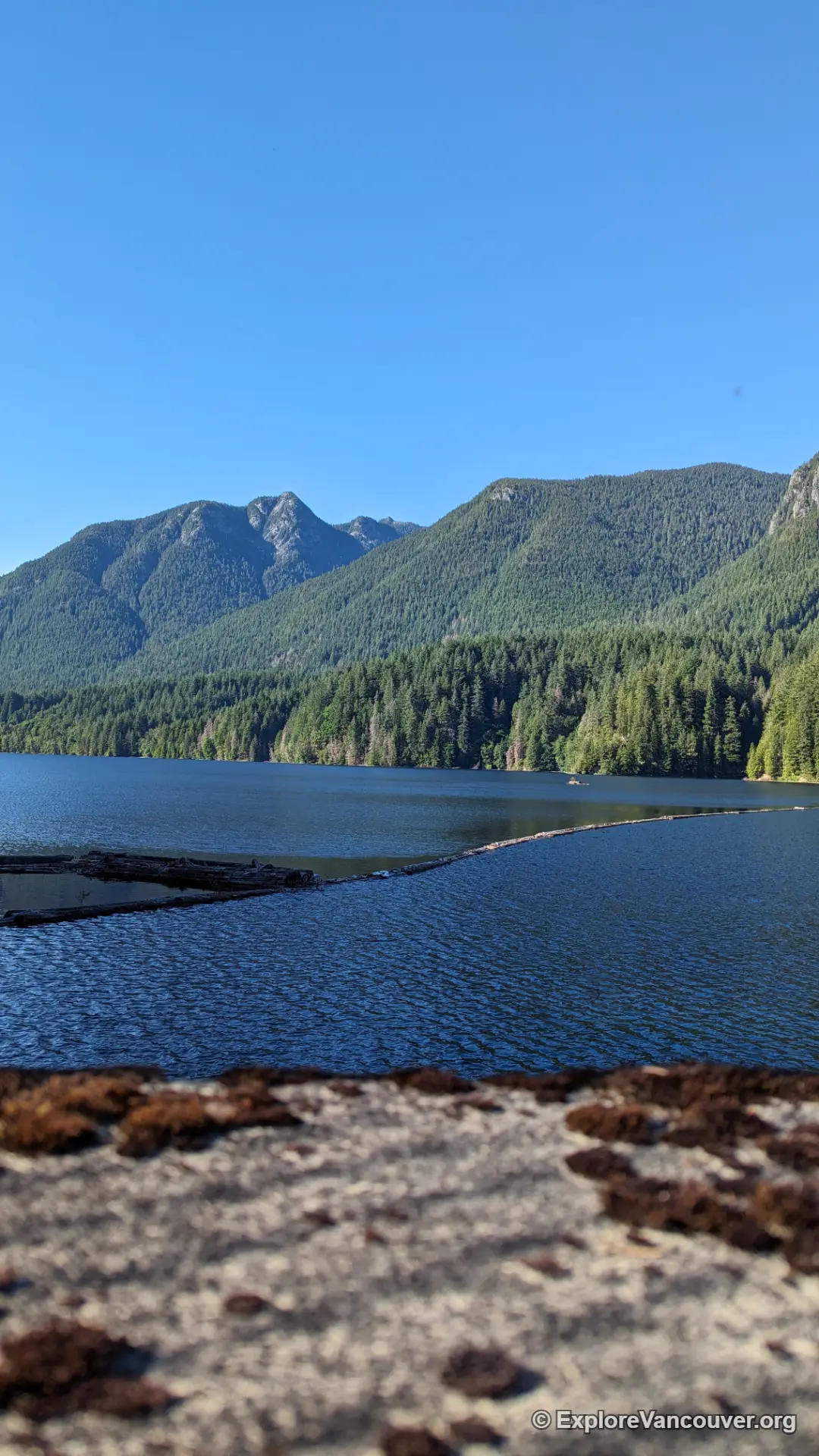
Cleveland Dam sits at the head of Capilano River Regional Park, where a concrete spillway holds back Capilano Lake against a backdrop of the twin peaks known as The Lions. Visitors can walk across the top of the dam for free, watch the spillway when the lake is running high, and pick up several trailheads without going any further than the parking lot.
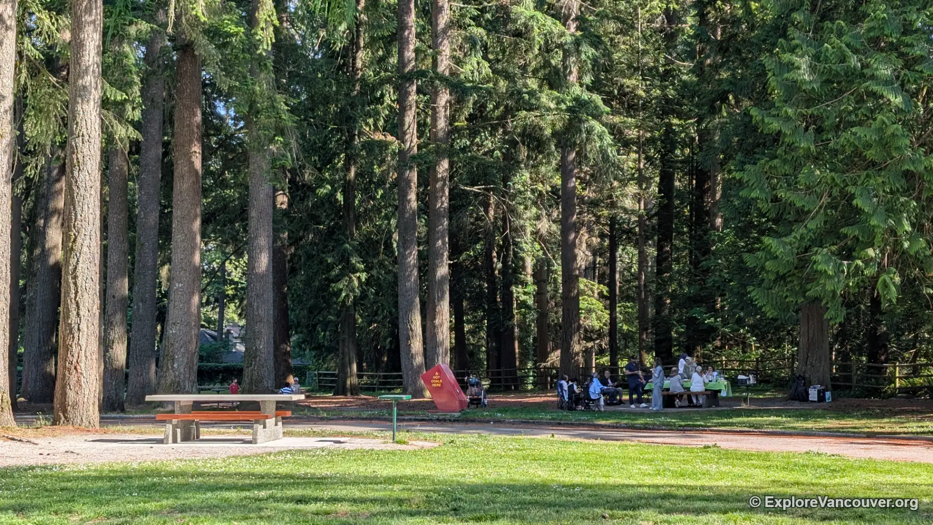
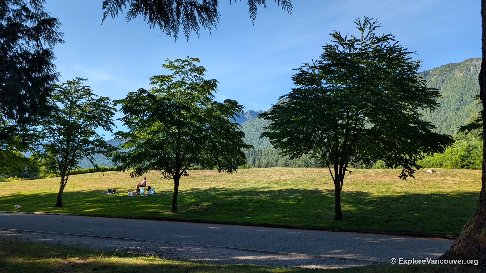
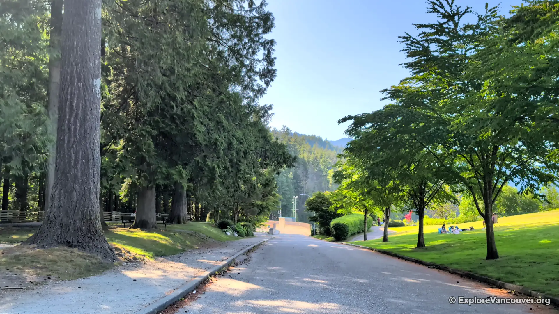
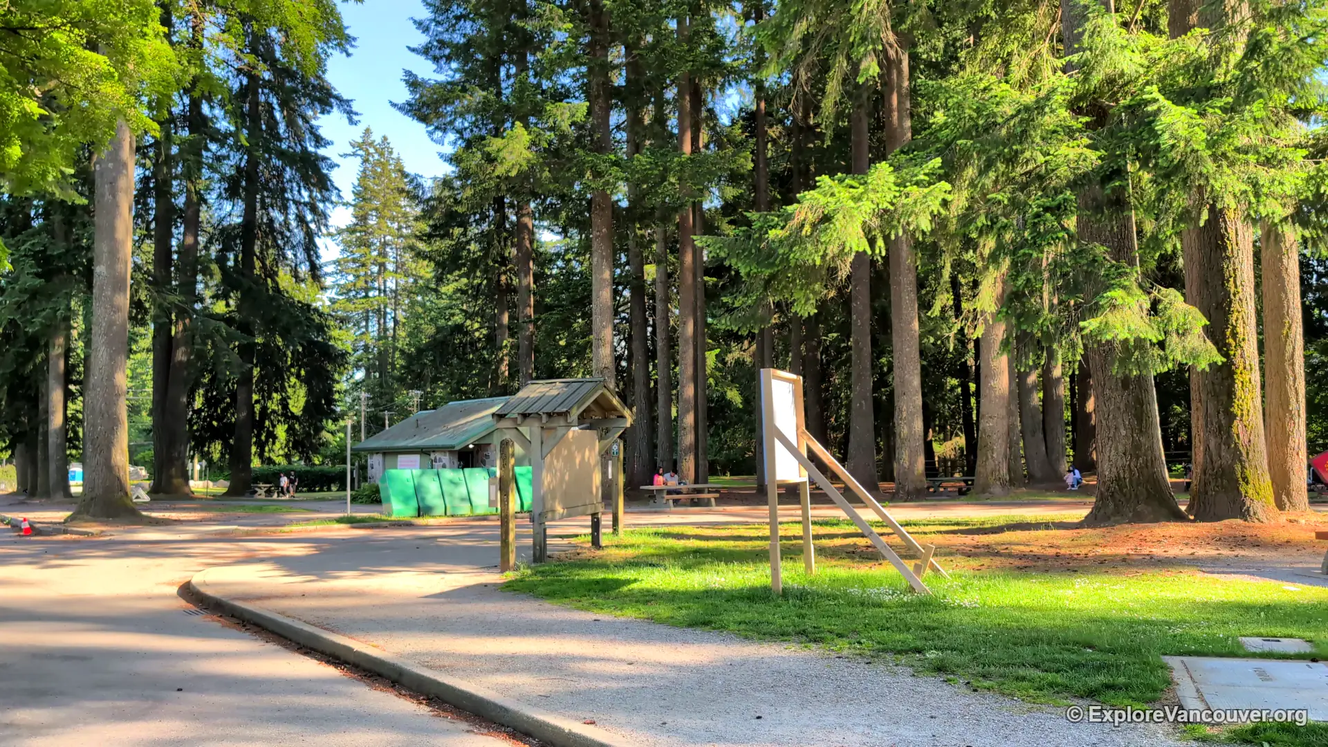
It is also the quiet anchor of a small, often overlooked corner of North Vancouver called Cleveland Park, tucked just off Capilano Road on the way up toward Grouse Mountain.
Gallery
The dam, by the numbers
How the dam came to be
What to do once you are there
On the dam
- Walk the full length of the dam crest for views of the lake and The Lions
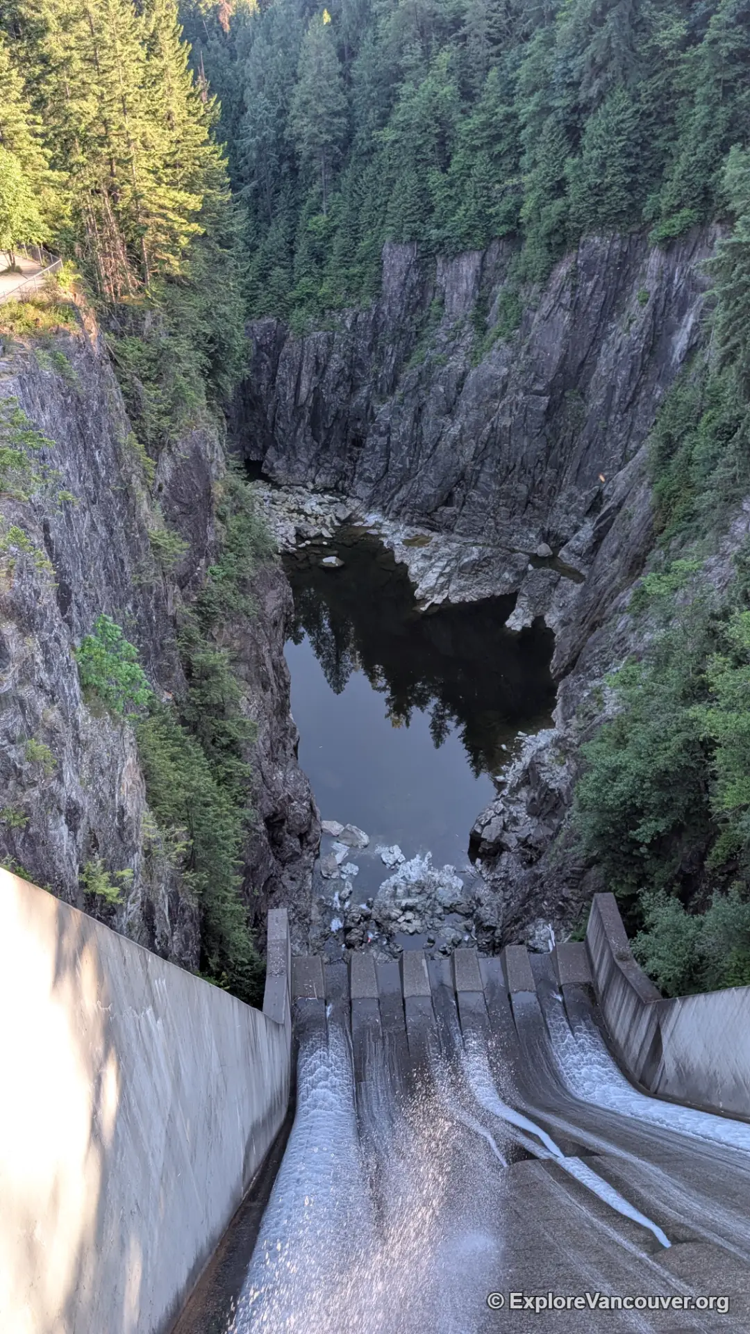
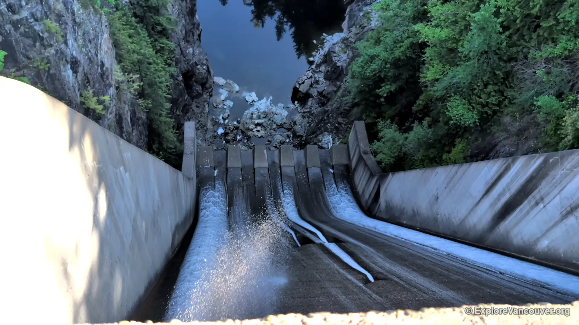
- Watch the spillway during wetter months, when overflow can be dramatic
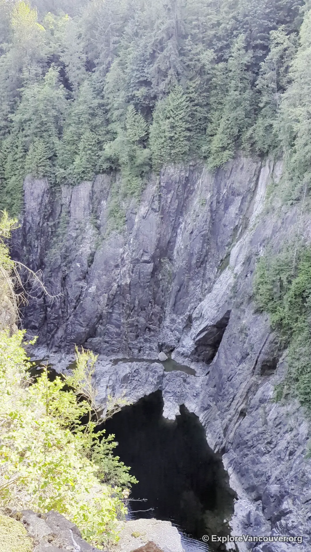
- Photograph the canyon below from the marked lookout points
Trails from the dam
- The Giant Fir Trail descends from the dam toward the Second Canyon Viewpoint
- Continuing trails connect down to the Capilano River Hatchery
- The dam links into the wider Baden Powell Trail network and the Capilano Pacific Trail, which runs roughly 8 kilometres south to Ambleside Park
Getting there and nearby stops
Cleveland Dam is reached by driving up Capilano Road in North Vancouver, past the turnoff for Capilano Suspension Bridge Park, with a dedicated parking lot at the dam itself. It sits only a few minutes from the suspension bridge by car and is on the same road that continues up toward Grouse Mountain, which makes it easy to pair with either stop on the same outing.
For a longer visit, follow the trails down into Capilano River Regional Park and continue to the Capilano River Hatchery, or browse the rest of our North Vancouver guide for more nearby parks and viewpoints.
Frequently asked questions
Is Cleveland Dam free to visit?
Yes. There is no charge to park at the dam, walk across it, or explore the surrounding park. Check the official Metro Vancouver Regional Parks page for any current access notices before you go.
Can you swim or access Capilano Lake at the dam?
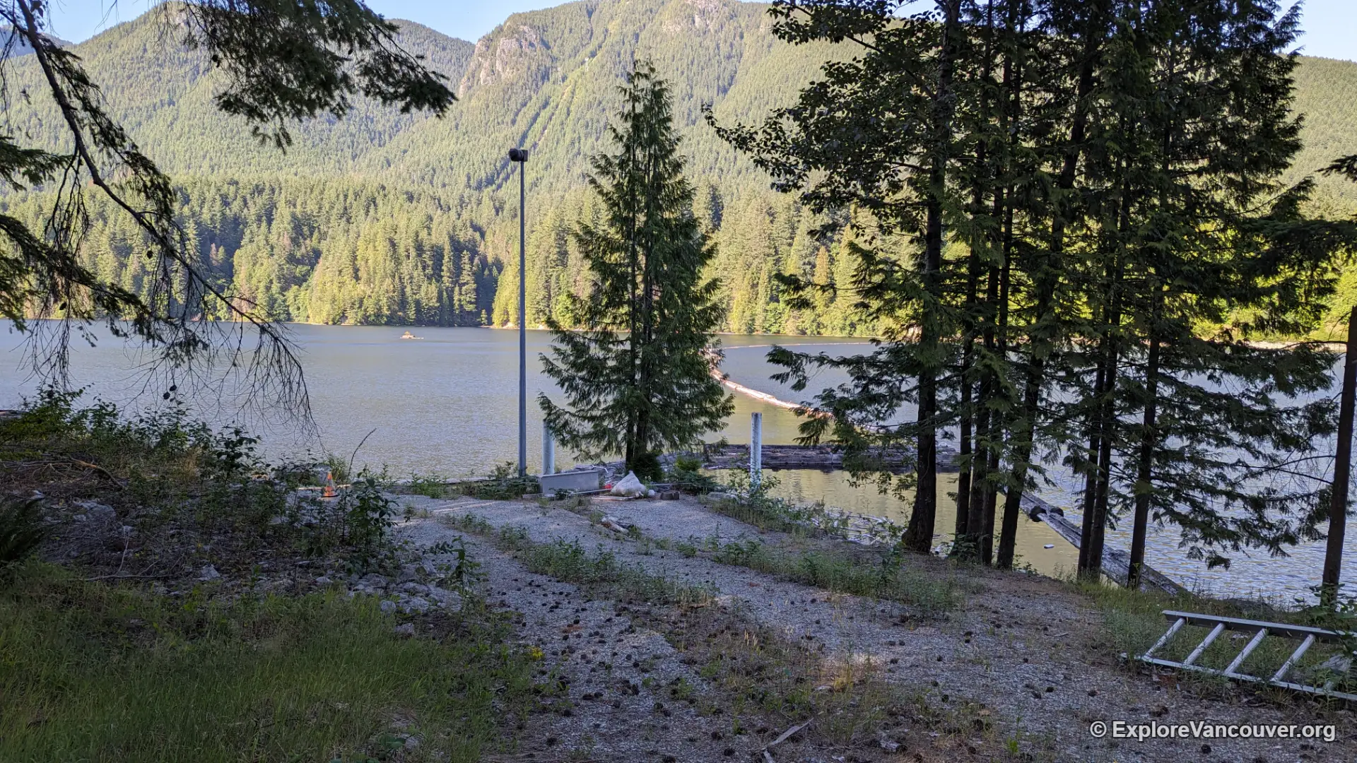
No. Capilano Lake is an active drinking water reservoir for the region, and the shoreline around it is fenced and closed to the public. You can view the lake from the dam crest but cannot go down to the water.
How do you get to Cleveland Dam?
Drive up Capilano Road in North Vancouver toward Grouse Mountain. A dedicated parking lot sits right at the dam, a short distance past the turnoff for Capilano Suspension Bridge Park.
What trails start at Cleveland Dam?
The Giant Fir Trail drops from the dam toward the Second Canyon Viewpoint and continues to the Capilano River Hatchery. The dam also connects into the broader Baden Powell Trail network and the Capilano Pacific Trail toward Ambleside Park.
Is Cleveland Dam a good spot for kids or a short visit?
Yes. Walking across the dam itself is flat and quick, making it a manageable stop for families, and the adjoining Cleveland Park has open lawn space for a break before or after a longer hike.
How does Cleveland Dam connect to the Capilano River Hatchery?
Trails below the dam lead down through Capilano River Regional Park directly to the hatchery, and it is possible to walk between the two sites in around 20 to 30 minutes depending on the route taken.
Planning a North Shore day out? Pair Cleveland Dam with the hatchery, the suspension bridge, or the rest of our North Vancouver coverage.