
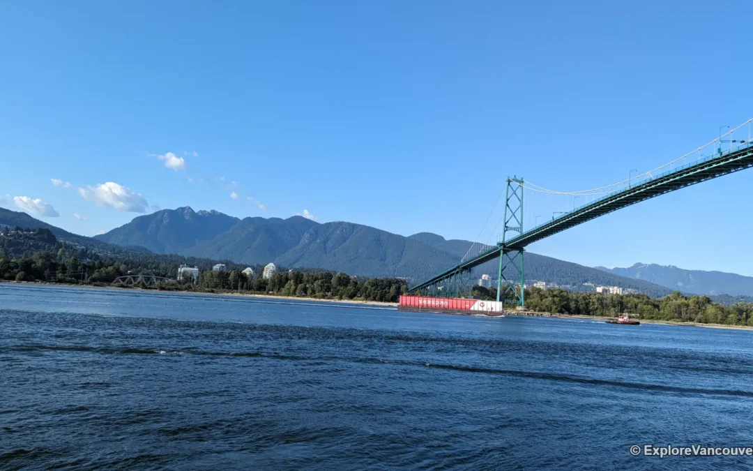
Quick Info
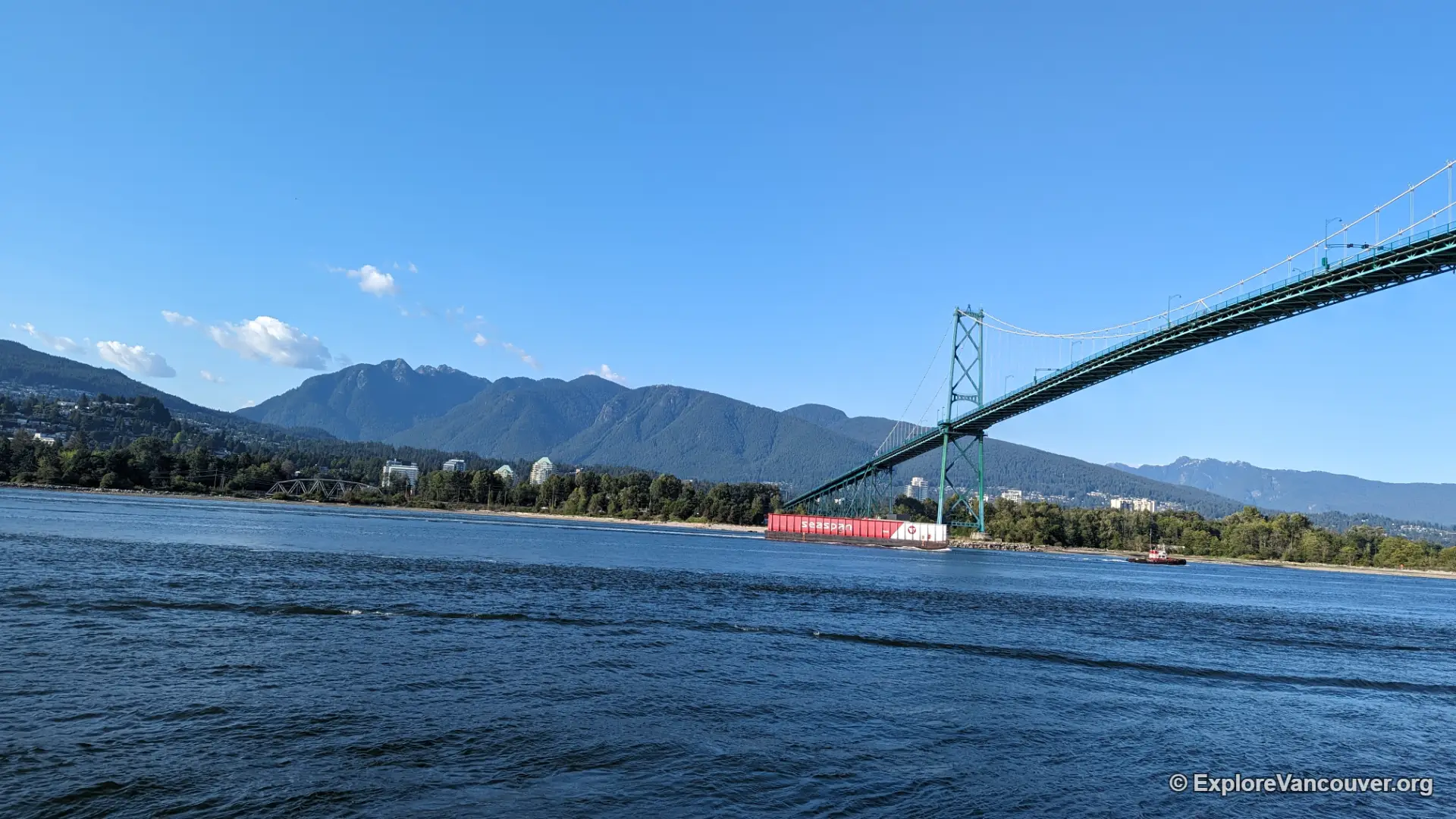
A bridge built on a private bet
The Lions Gate Bridge was not a government project when it opened to pedestrians on November 12, 1938, followed by vehicle traffic two days later. It was privately financed by the Guinness brewing family, who had bought large tracts of land on the North Shore and needed a fast route into the city to make that land worth developing. Vancouver voters had already rejected the idea once, in a 1927 plebiscite, over worries about cutting through Stanley Park. Engineer and promoter Alfred James Towle Taylor kept pushing, construction finally began in March 1937, and the finished bridge became the longest suspension span in the British Empire at the time.
The province bought the bridge back from the Guinness family in 1955 and removed the toll in 1963. In 2005, the crossing was formally recognized as the Lions Gate Bridge National Historic Site of Canada, a nod to both its engineering and its role in shaping how the region grew.
Engineering that still carries the weekday rush
The bridge stretches about 1,823 metres including its north viaduct, with a main span of roughly 473 metres slung between towers that rise 111 metres above the water. Only three lanes cross the deck, so the middle lane reverses direction with the flow of commuter traffic, flipping between morning and evening rush hour behind a movable barrier. It is one of the busiest pinch points in the region, carrying tens of thousands of vehicles a day.
By the late 1990s the original roadway was wearing out, so crews replaced the entire suspended deck in 2001 without ever closing the bridge to traffic, a first for a project of that scale. The towers and main cables from 1938 are still doing the work today.
Crossing on foot or by bike
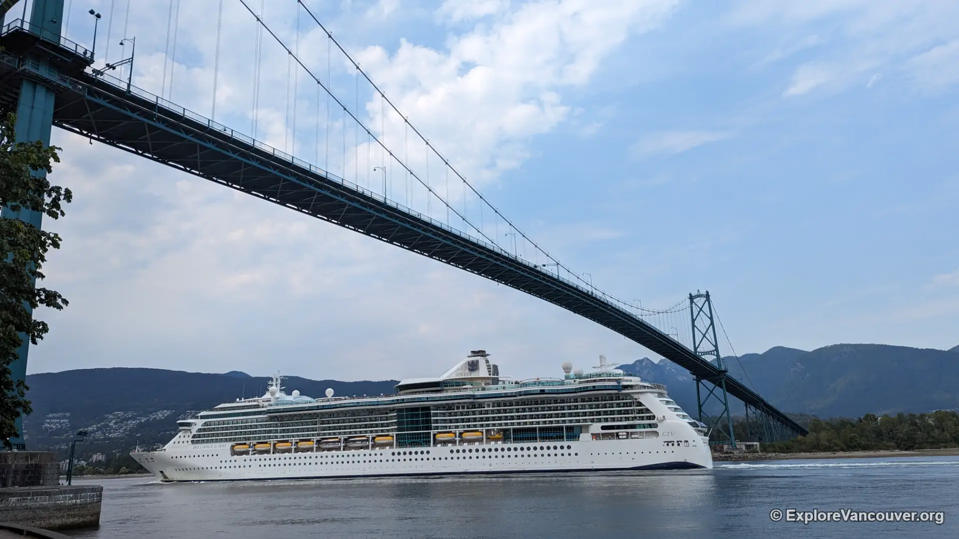
Shared walking and cycling paths run along both sides of the deck, separated from traffic by a low railing. Head north toward West Vancouver on the west side and you get the Strait of Georgia and the Gulf Islands opening up in front of you; walk south toward Stanley Park on the east side and the downtown skyline rises above the trees. Cruise ships and container vessels regularly pass underneath, so it is worth timing a crossing around Vancouver Harbour’s shipping traffic if that is part of what you want to see.
The path is narrow and shared, and cyclists move quickly on the downhill sections, so walkers should stay close to the railing and keep an eye out.
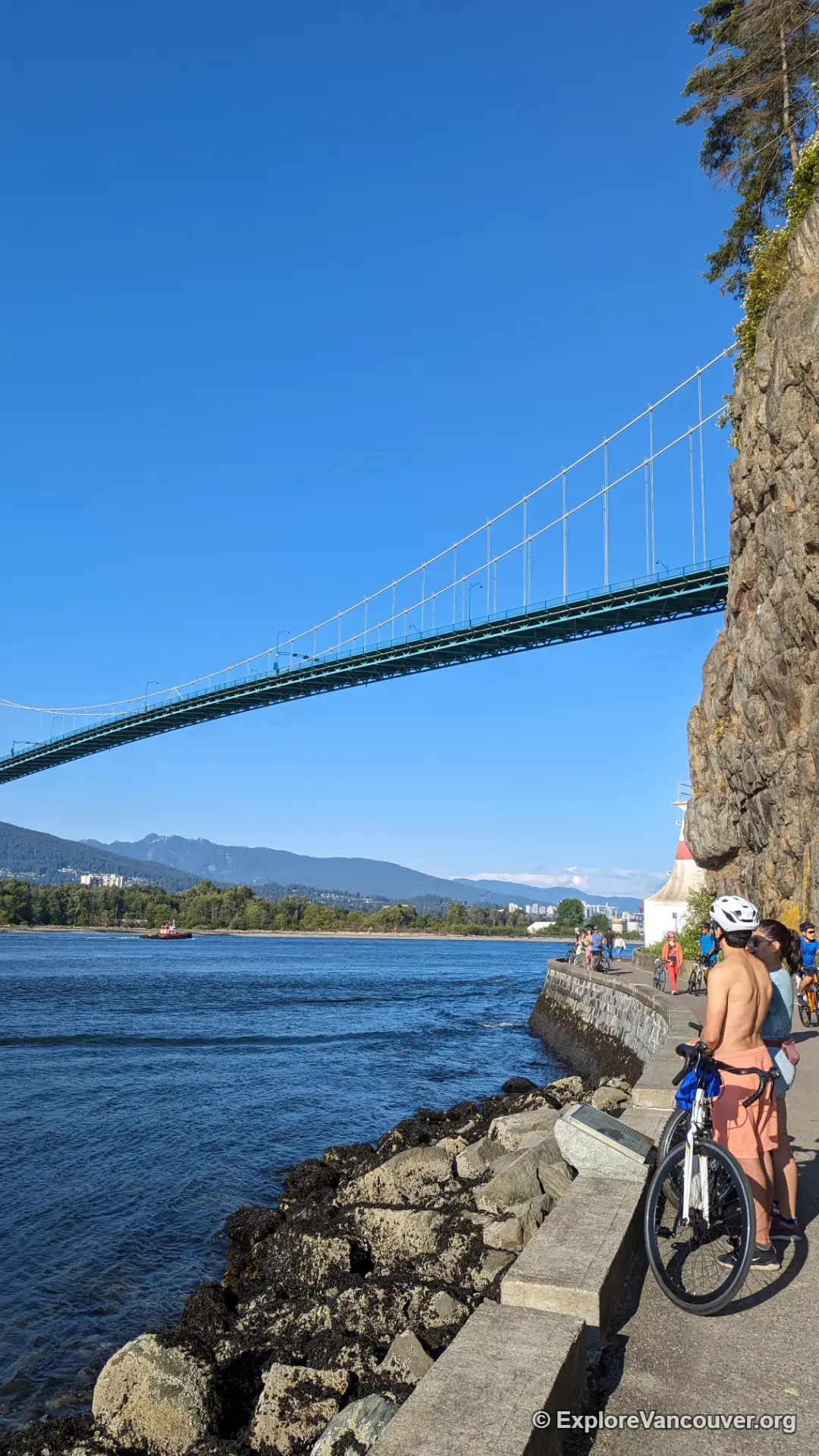
Where to see it from
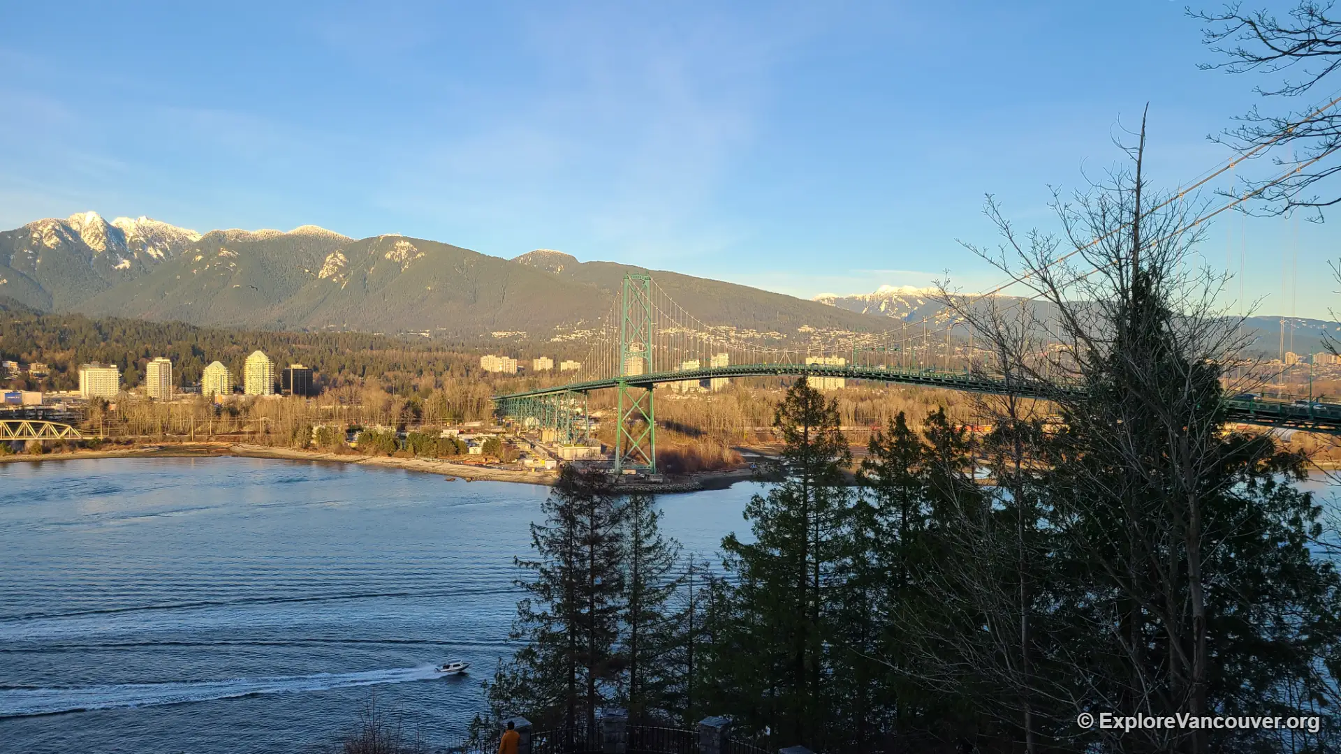
Prospect Point, at the north tip of Stanley Park, sits almost level with the bridge deck and gives one of the closest views anywhere in the city. Following the Stanley Park Seawall toward the bridge works well too, with the water, the towers, and the mountains lined up together. Across the inlet, Ambleside Park in West Vancouver frames the bridge from the opposite shore, which is a good option if you want the skyline in the same shot.
Early morning and just before sunset tend to give the softest light on the towers, and the crossing itself stays open around the clock, so a quiet late-night walk is also an option if you do not mind the wind.
Gallery
Frequently Asked Questions
Is the Lions Gate Bridge free to cross?
Yes. The bridge has been toll-free since 1963, for drivers, cyclists, and pedestrians alike.
Can you walk or bike across the Lions Gate Bridge?
Yes, shared pedestrian and cycling paths run along both sides of the deck. The paths are narrow, so pedestrians should stay close to the railing and watch for cyclists.
How long is the Lions Gate Bridge?
The bridge is about 1,823 metres long including its north viaduct, with a main span of roughly 473 metres between the two towers.
Where is the best place to view the Lions Gate Bridge?
Prospect Point and the Stanley Park Seawall on the south side give some of the closest views, while Ambleside Park in West Vancouver offers a wider shot with the downtown skyline behind the bridge.
Is the Lions Gate Bridge a National Historic Site?
Yes. It was designated the Lions Gate Bridge National Historic Site of Canada in 2005 in recognition of its engineering and its role in the development of the North Shore.
What does the Lions Gate Bridge connect?
It links Stanley Park and downtown Vancouver to the North Shore communities of North Vancouver and West Vancouver, carrying Highway 99 and Highway 1A traffic over Burrard Inlet’s First Narrows.
Pair it with Stanley Park
Most visitors reach the bridge on foot through Stanley Park. Explore the seawall route and the rest of the park before or after your crossing.
Explore Stanley Park