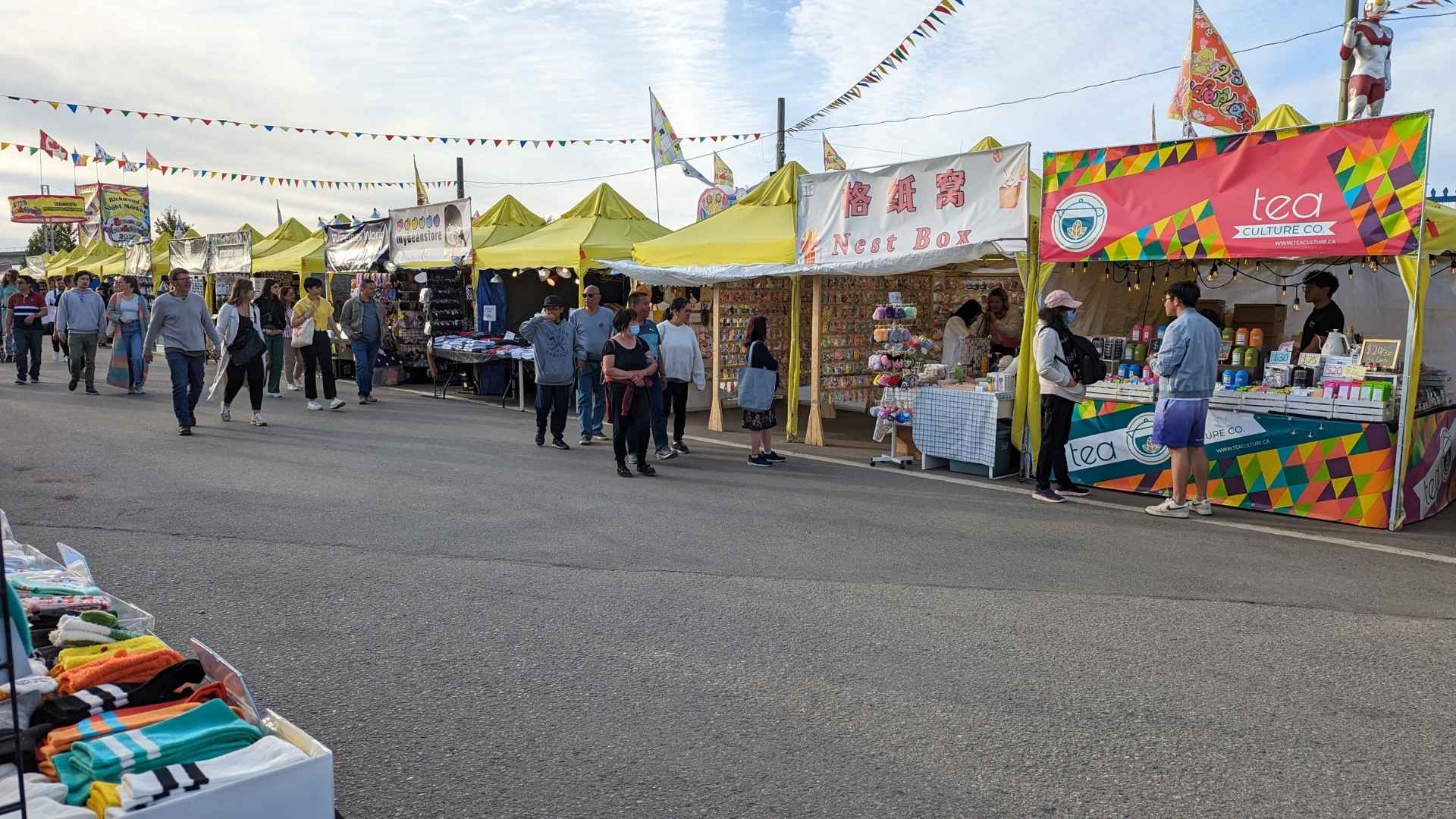
Richmond Night Market, North America’s largest, lights up the waterfront near Bridgeport Station every summer.
Richmond at a Glance
Richmond sits just south of Vancouver, built across a cluster of islands where the Fraser River spreads out toward the Salish Sea. The land is flat, low, and shaped as much by water as by the people who settled it: Coast Salish communities who fished its sloughs for salmon long before the city existed, farmers who diked the marshland into fields in the late 1800s, and generations of immigrants who have since made it one of the most culturally diverse cities in the country. All of that history sits close together today. A working fishing village is twenty minutes from a wetland nature reserve, which is twenty minutes from an Olympic speed skating oval, which sits a short walk from some of the best regional cooking in Metro Vancouver.
Most visitors arrive through Vancouver International Airport, which occupies its own island within Richmond’s city limits, or ride the Canada Line SkyTrain straight from downtown Vancouver. From there the city rewards a slower pace. Paved trails run along the dikes that keep the river out, stalls at the public market carry dishes from a dozen countries, and the cannery buildings in Steveston still hold the outline of a fishing industry that once ran forty-nine plants along a single stretch of waterfront.
Where Land Meets River
Richmond is built on Lulu Island, its largest and most populated landmass, along with Sea Island and around fifteen smaller islands scattered through the Fraser River delta. Much of the land sits at or below sea level, protected by a ring of dikes that has held back the river and the tide since the earliest farmers arrived. That flat geography turned out to be a gift for anyone on foot or on a bike: the city now maintains more than 345 kilometres of cycling routes and dyke trails, including the West Dyke Trail connecting Steveston to Garry Point Park and Terra Nova, and the Middle Arm Trail tracing the waterfront past the Olympic Oval.
There is no elevation to speak of and almost no traffic once you’re on the dike itself, just open sky, working farmland on one side and river on the other.
A City Built by the World
More than half of Richmond’s residents identify as Chinese Canadian, and the city has long held one of the highest proportions of immigrants of any municipality in Canada. That history is visible everywhere, not tucked into a single neighbourhood. It shows up in the International Buddhist Temple on Steveston Highway, a complex of imperial-style halls, gardens, and shrines modeled on Beijing’s Forbidden City that has welcomed visitors free of charge since the 1980s. It shows up again each summer at the Richmond Night Market, an open-air food and shopping event near Bridgeport Station that has grown into the largest of its kind in North America, drawing well over a million visitors across its season.
The result is a food and cultural scene that punches well above the city’s size, built by successive waves of newcomers rather than a single defining influence.
Tip: Richmond’s flat terrain and paved dyke trails make it one of the easiest places in Metro Vancouver to cover by bike. Pick up a rental near Steveston and follow the West Dyke Trail north toward Garry Point Park and Terra Nova.
Steveston: Richmond’s Historic Fishing Village
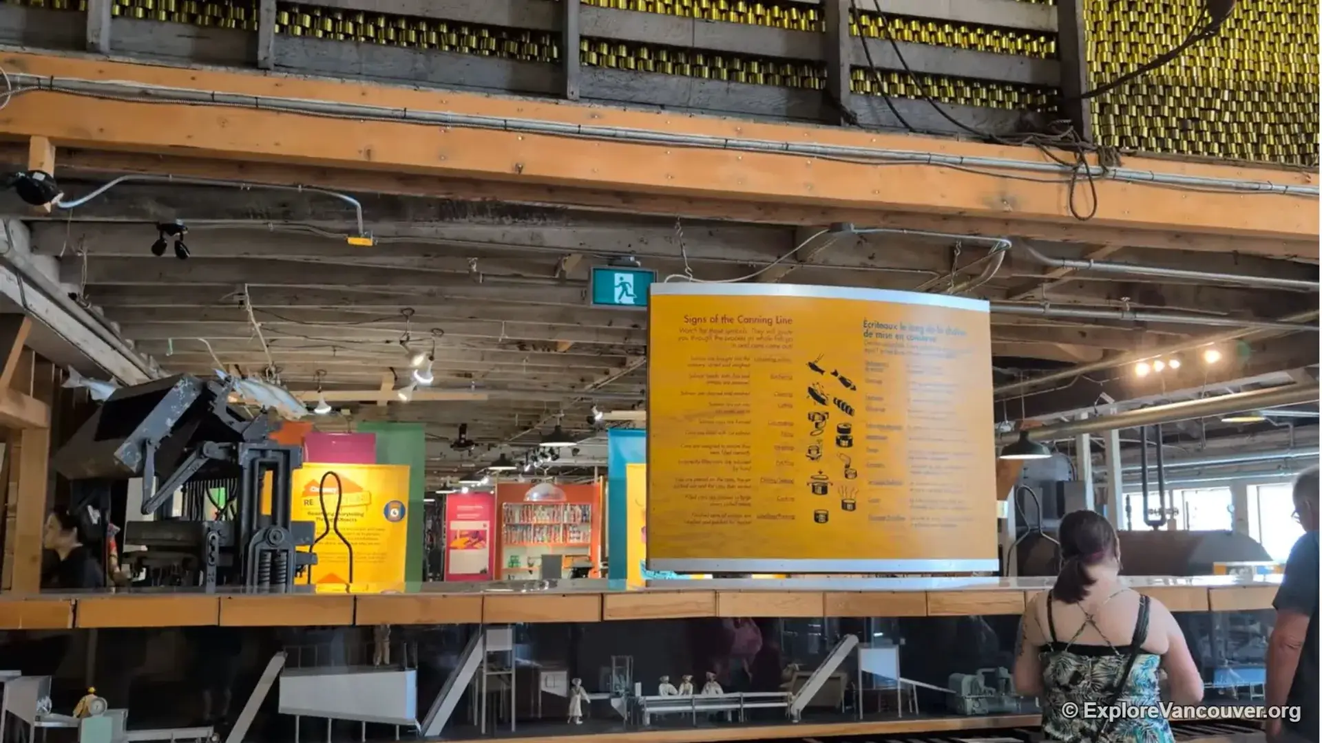
At the turn of the twentieth century, Steveston held as many as forty-nine salmon canneries along a few hundred metres of waterfront, making it one of the busiest fishing ports on the West Coast. Only one of those buildings survives largely intact: the Gulf of Georgia Cannery, built in 1894 and now preserved as a national historic site, with original machinery still in place inside.
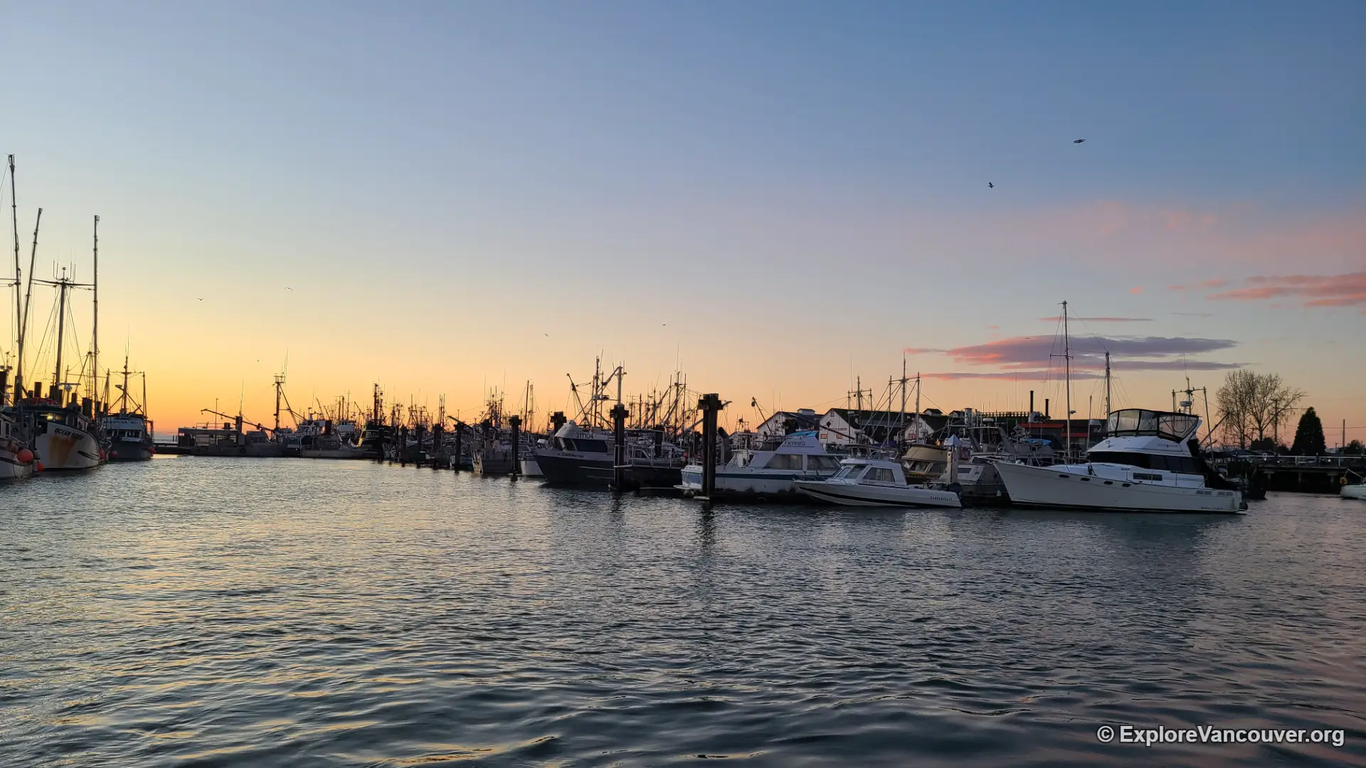
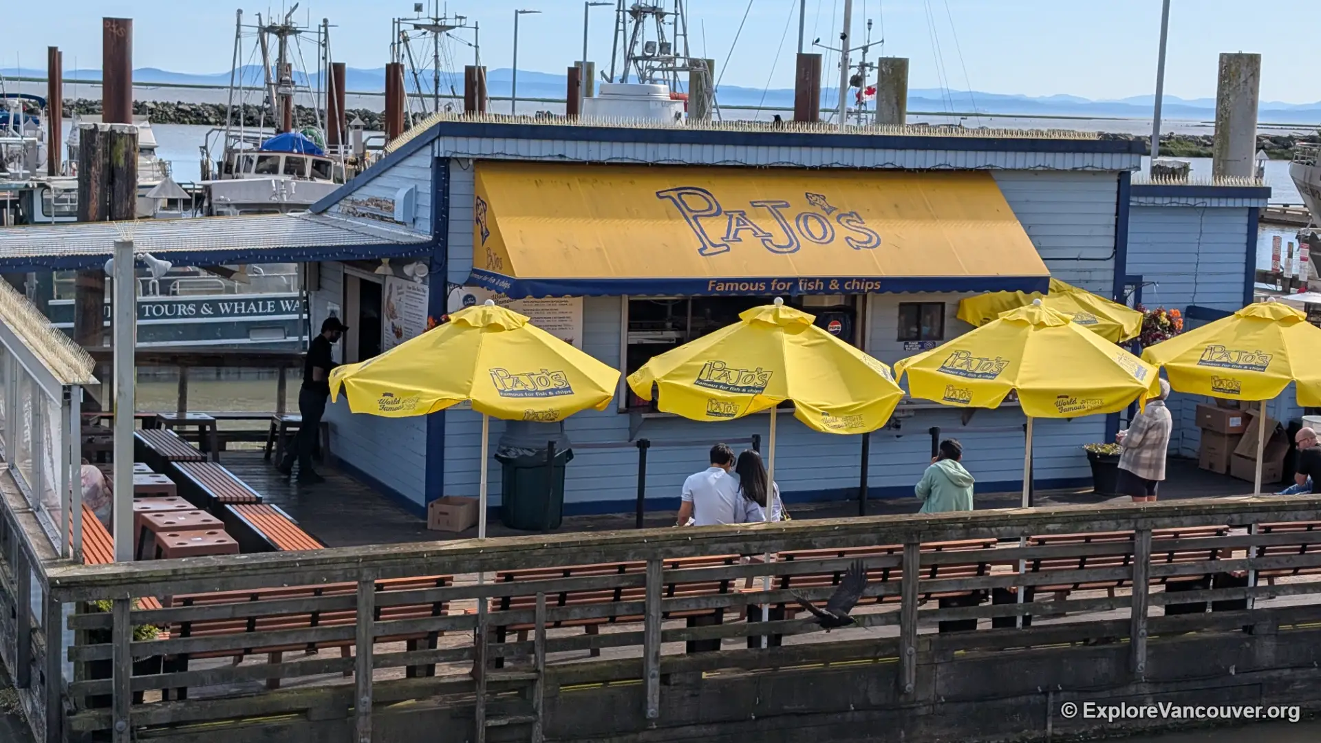
Steveston Village itself has grown up around that history rather than replaced it. A working fishing fleet still ties up at the public wharf, heritage storefronts line the streets behind it, and the smell of fresh catch still drifts off the docks most mornings.
Wetlands, Bogs, and Birdlife
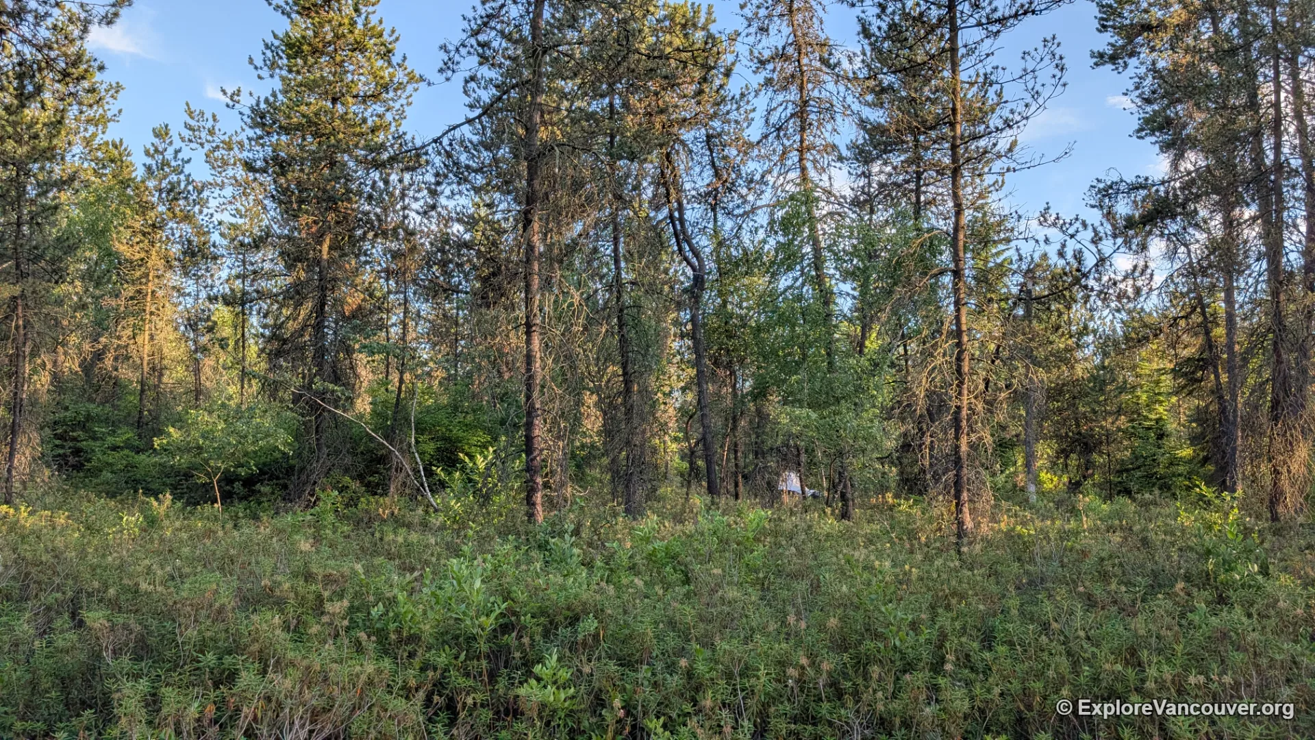
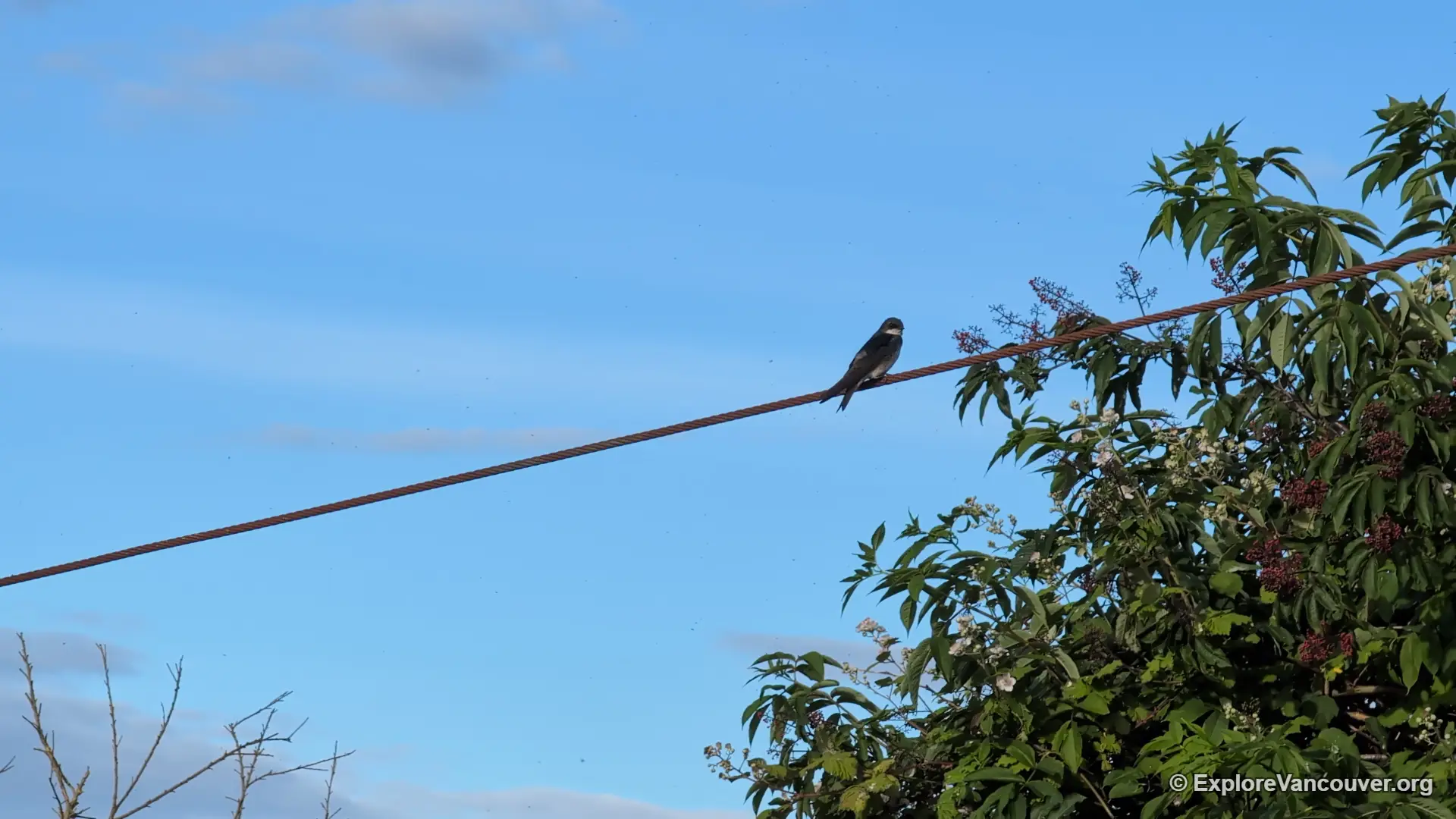
Before farms and roads covered Lulu Island, most of it looked like the roughly 200 acres preserved today inside Richmond Nature Park, a raised peat bog thousands of years in the making, threaded with boardwalk and wood-chip trails. Out at the coastline, Iona Beach Regional Park extends into the Strait of Georgia along a jetty that has become one of the region’s better-known birdwatching spots, sitting on the Pacific Flyway migration route with hundreds of recorded species passing through over the course of a year.
Between the two, Sturgeon Banks and the marshes along the West Dyke Trail keep the wetland thread going almost the whole length of the city.
Richmond doesn’t announce itself the way some cities do. It reveals itself slowly: in a cannery smokestack against the sky, a heron standing still in a bog, a market stall passing a family recipe down to a fourth generation of customers.
Featured Places to Explore in Richmond
Eight starting points for a first visit, from wetland trails to a historic cannery floor.
Richmond Nature Park
Roughly 200 acres of raised peat bog inside city limits, laced with boardwalk and wood-chip trails, ponds, and resident turtles and songbirds.
Explore Richmond Nature Park →
Richmond Nature House
The nature park’s small interpretive centre, with live animals, hands-on exhibits, and naturalist-led programs near the main entrance.
Explore Richmond Nature House →
Garry Point Park
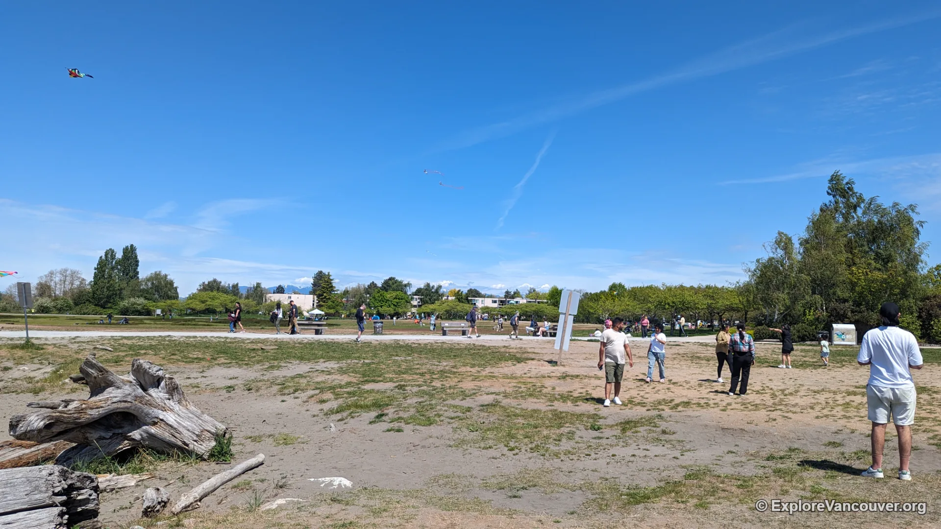
Open lawns and a driftwood-strewn beach at the mouth of the Fraser River, with wide views toward the Strait of Georgia and Steveston’s boats.
Explore Garry Point Park →
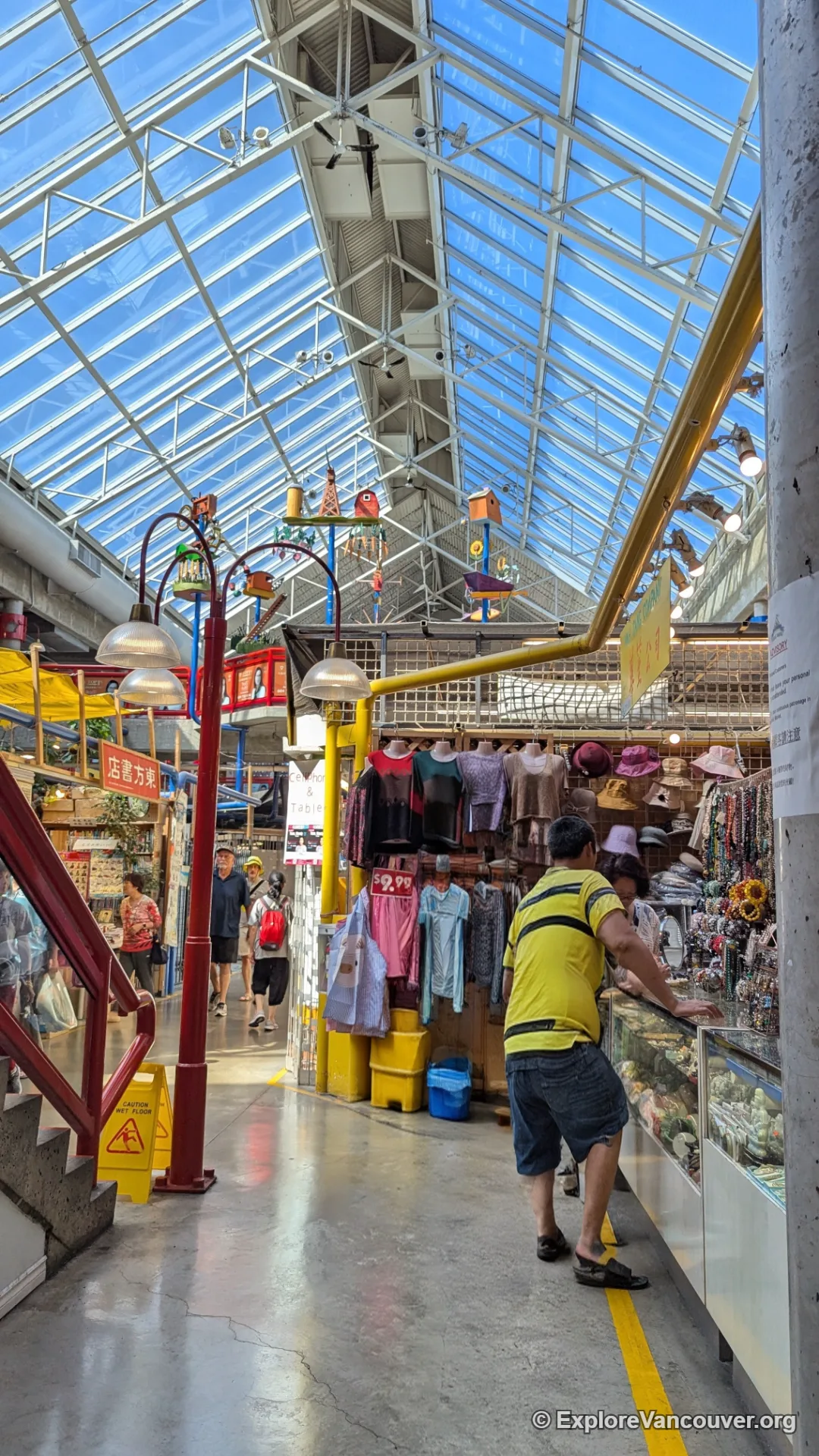
Richmond Public Market
An indoor food hall built around Asian cuisine, from bubble tea and dim sum to a grocery floor stocked with imported ingredients.
Explore Richmond Public Market →
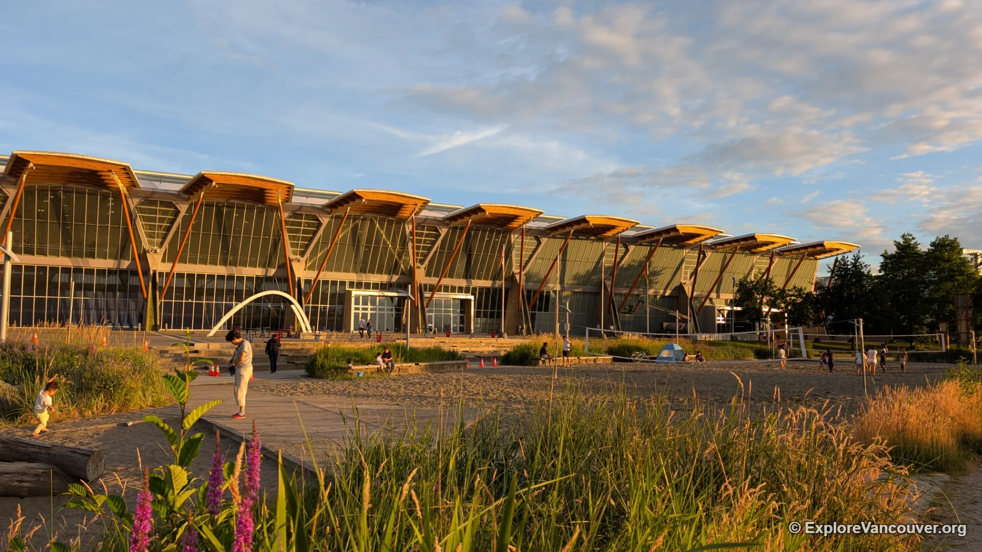
Richmond Olympic Oval
The speed skating venue from the 2010 Winter Olympics, now a public recreation centre with a riverfront promenade and public art.
Explore Richmond Olympic Oval →
Iona Beach Regional Park
A long jetty reaching into the Strait of Georgia, prized by birdwatchers for the hundreds of species that pass through each year.
Explore Iona Beach Regional Park →
Steveston Village
A historic fishing harbour turned neighbourhood, with heritage buildings, a working boat fleet, and some of the freshest seafood in Metro Vancouver.
Explore Steveston Village →
Gulf of Georgia Cannery
A preserved 1894 salmon cannery once known as the “Monster Cannery,” with original equipment still in place across the museum floor.
Explore Gulf of Georgia Cannery →
Markets, Farms and Flavours
Beyond the Public Market and the Night Market, much of Richmond’s land beyond the city centre is still under active cultivation, protected as part of BC’s Agricultural Land Reserve. A handful of family-run farms open their gates seasonally as country markets, with produce stands, small animal areas, and u-pick fields drawing weekend crowds away from the waterfront.
That agricultural backbone feeds directly into the dining scene closer to downtown Richmond, where a dense concentration of restaurants specializing in regional Chinese cooking, hot pot, and dim sum has earned the city a reputation as one of the best places to eat in Metro Vancouver, night market included.
Note: Farm markets and seasonal attractions in Richmond often change their opening dates and hours from year to year. Check ahead with the individual business or the City of Richmond before planning a visit around one.
Richmond in Pictures
A closer look at the parks, landmarks, and neighbourhoods covered above.
Garry Point & the Nature Park
Driftwood beaches, open lawns, and bog trails make up some of Richmond’s best-loved green space.
Inside the Nature House
Live animals and hands-on exhibits bring the bog’s ecosystem to life for younger visitors.
Olympic Oval & Public Market
From Olympic legacy architecture to a food hall built around Asian cuisine, two very different sides of modern Richmond.
Farm Markets
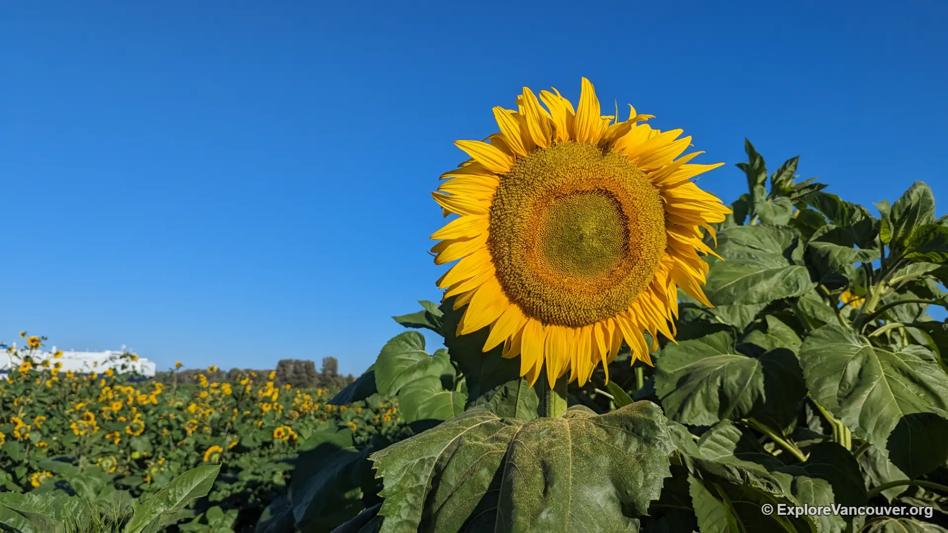
Richmond’s agricultural land reserve still supports working farms and seasonal markets close to the city centre.
Steveston Village Finds
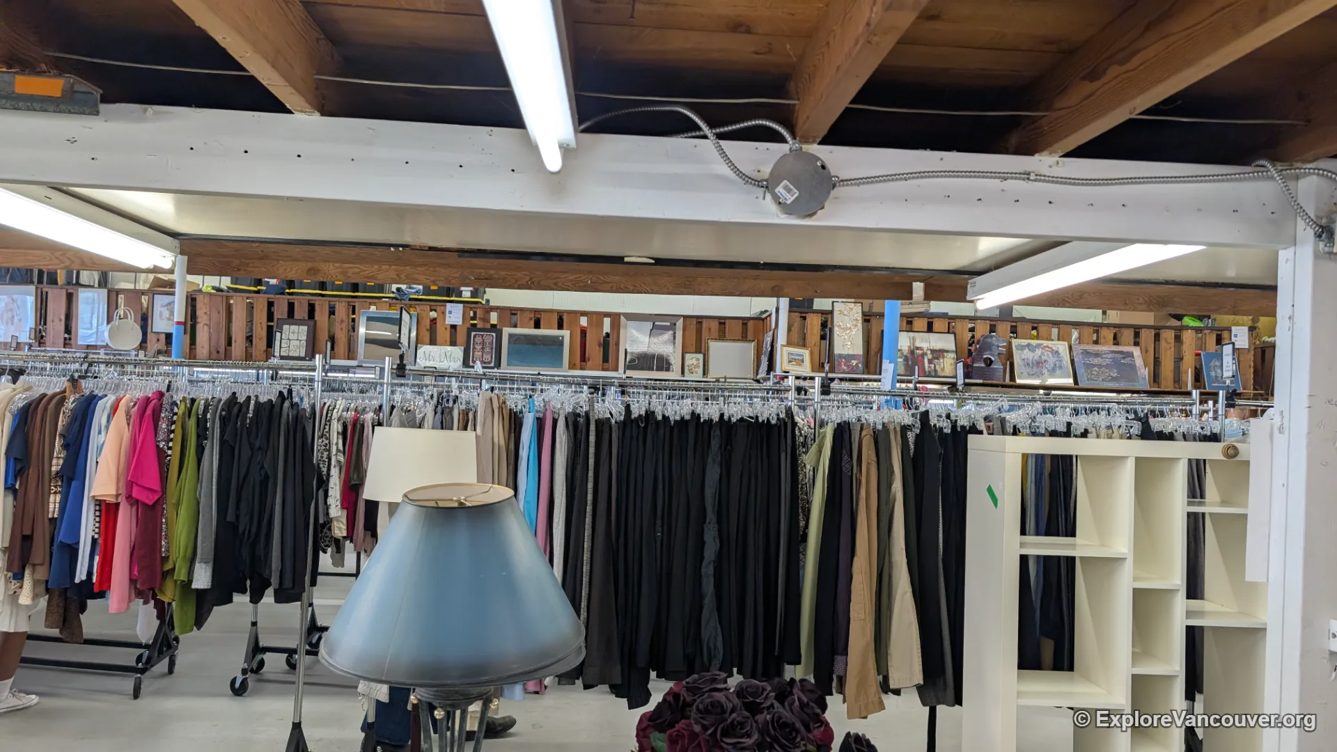
Beyond the waterfront, Steveston’s side streets hold thrift shops and small businesses worth a slow wander.
Gulf of Georgia Cannery
Original equipment and a scale LEGO model bring more than a century of cannery history into focus.
Frequently Asked Questions
No. Richmond is its own city within Metro Vancouver, located just south of Vancouver and connected by the Canada Line SkyTrain and several bridges.
The Canada Line SkyTrain runs directly from downtown Vancouver to Richmond, with the trip taking around 25 minutes. Driving is also straightforward via Highway 99, the Oak Street Bridge, or the Knight Street Bridge.
Yes. YVR sits on Sea Island, which is within Richmond’s city limits, even though the airport carries Vancouver’s name.
Richmond is best known for Steveston’s historic fishing village, its multicultural food scene, North America’s largest night market, and wetland parks along the Fraser River.
Yes. The Canada Line and local buses reach most major attractions, and the city’s flat terrain and extensive dyke trail network make walking and cycling easy alternatives.
Richmond works well as a year-round destination. Spring through fall suits outdoor trails, birdwatching, and the seasonal night market, while the public market, Nature House, and Steveston’s restaurants stay enjoyable through the winter months.
Continue Exploring Metro Vancouver
Richmond is one corner of a much larger region. Compare its wetlands and waterfront with Vancouver’s parks, Burnaby’s forests, or North Vancouver’s mountains before deciding where to spend your next day out.