
Quick Info
- Location McMillan Island, across the Fraser River from Fort Langley Village
- Managed by Metro Vancouver Regional Parks
- Size About 64 hectares of riparian forest and marsh
- Getting there Cross the bridge on Glover Road from Fort Langley Village
- Main trail Tavistock Point Trail, flat gravel, roughly 2 km one way
- Dogs Welcome on leash
- Cost Free to visit the day-use area; camping is separate and paid
- Good for Walking, cycling, picnicking, birdwatching, riverside views
About Brae Island Regional Park
Brae Island Regional Park sits on McMillan Island in the Fraser River, just across a short bridge from the heart of Fort Langley Village. The park covers roughly 64 hectares of floodplain forest, freshwater marsh, and riverbank, making it one of the more peaceful natural spaces in the Fort Langley area despite being only a few minutes’ walk from the village’s shops and restaurants.
The park is best known for the Tavistock Point Trail, a flat and easy gravel path that follows the shoreline out to the northern tip of the island, along with a network of shorter trails, a day-use picnic area, a sandy river beach, and a private campground called Fort Camping. It is a popular stop for a quiet walk, a bike ride, or a picnic after exploring Fort Langley Village or the nearby Fort Langley National Historic Site.
Getting There
The park entrance is reached by continuing north on Glover Road through Fort Langley Village and crossing the bridge onto McMillan Island. A gravel day-use parking lot sits just past the bridge, close to the trailhead and the Fort Camping entrance. Because the park is separated from the village by the bridge, it is an easy add-on to a Fort Langley visit rather than a separate trip.
Good to Know Before You Go
- Trails are wide, flat, and made of packed gravel, suitable for walking, cycling, and strollers
- Dogs are allowed but must stay leashed at all times
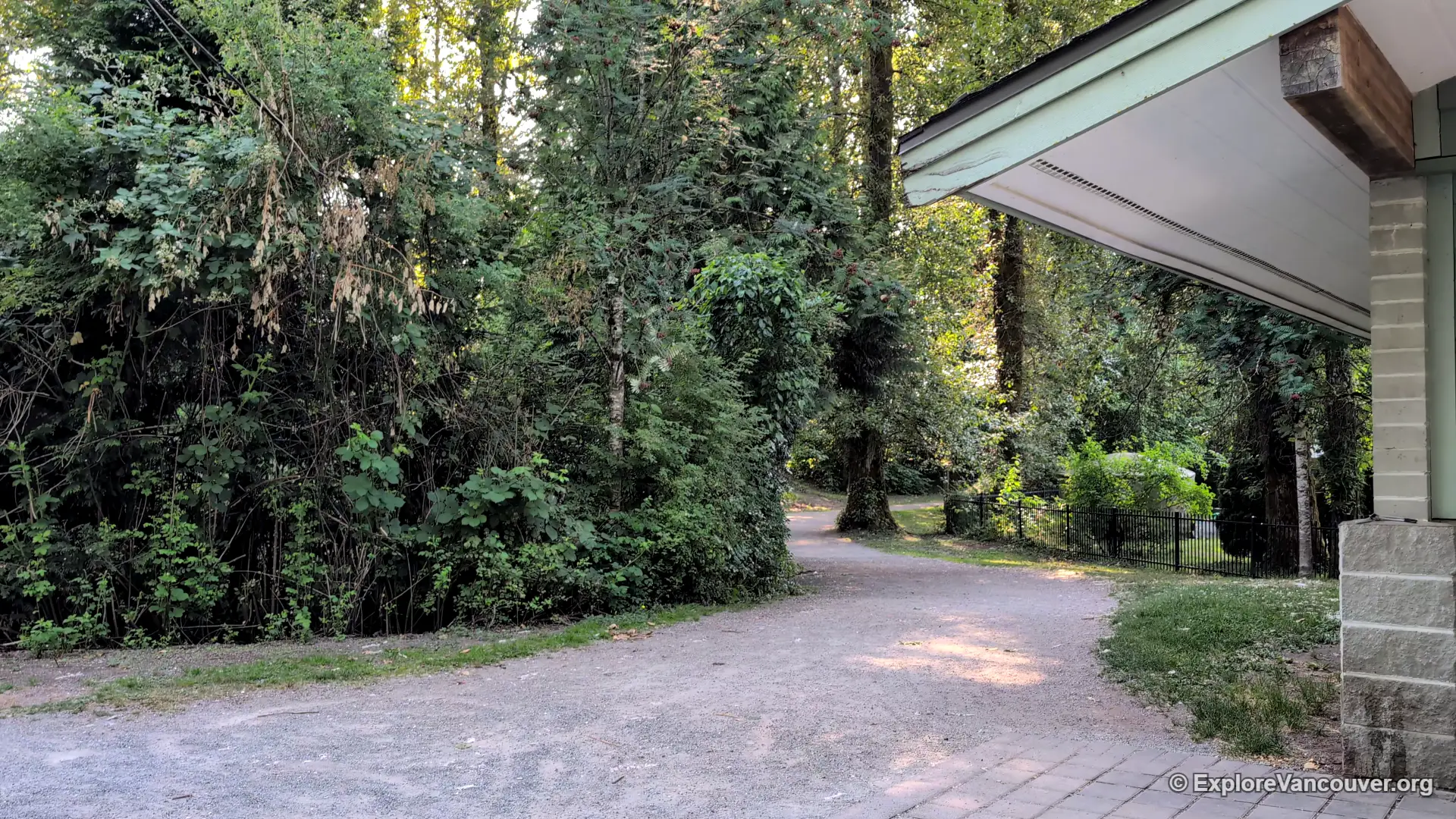
- Public washrooms are located near the day-use parking lot; there are none along the trail itself
- The park connects to the Fort-to-Fort Trail, which links toward Derby Reach Regional Park
Trails and Walking
The Tavistock Point Trail is the main route through the park, running roughly two kilometres from the Fort Camping area out to Tavistock Point at the northern tip of the island. The path is flat with minimal elevation gain and offers a few viewpoints looking out over the Fraser River toward the Coast Mountains, though most viewing platforms involve a small step up.
A newer route, the Tavistock Loop, branches off the main trail and winds through the forest and over a boardwalk before rejoining the main path. Like the Tavistock Point Trail, the loop is wide and gravel-surfaced. Longer distance walkers and cyclists can also pick up the Fort-to-Fort Trail from the Fort Langley side, which continues west toward Derby Reach Regional Park.
Wildlife and Nature
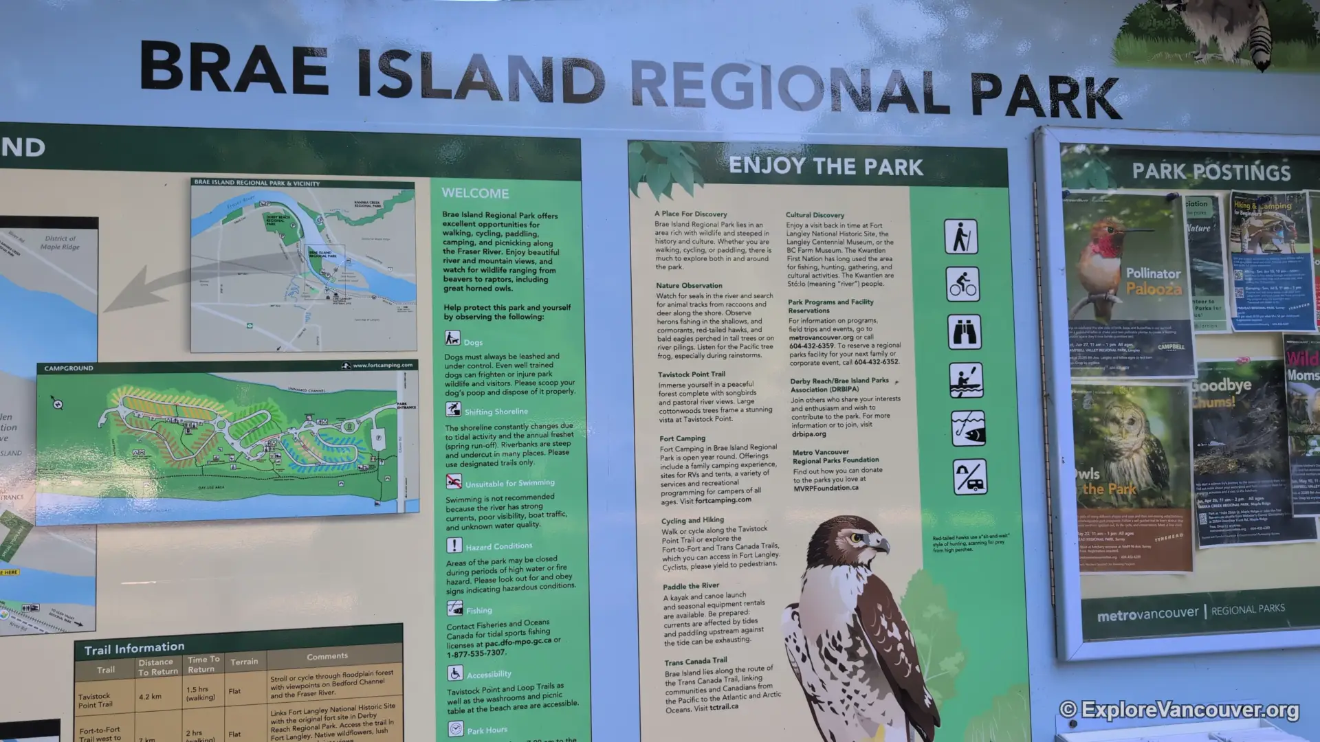
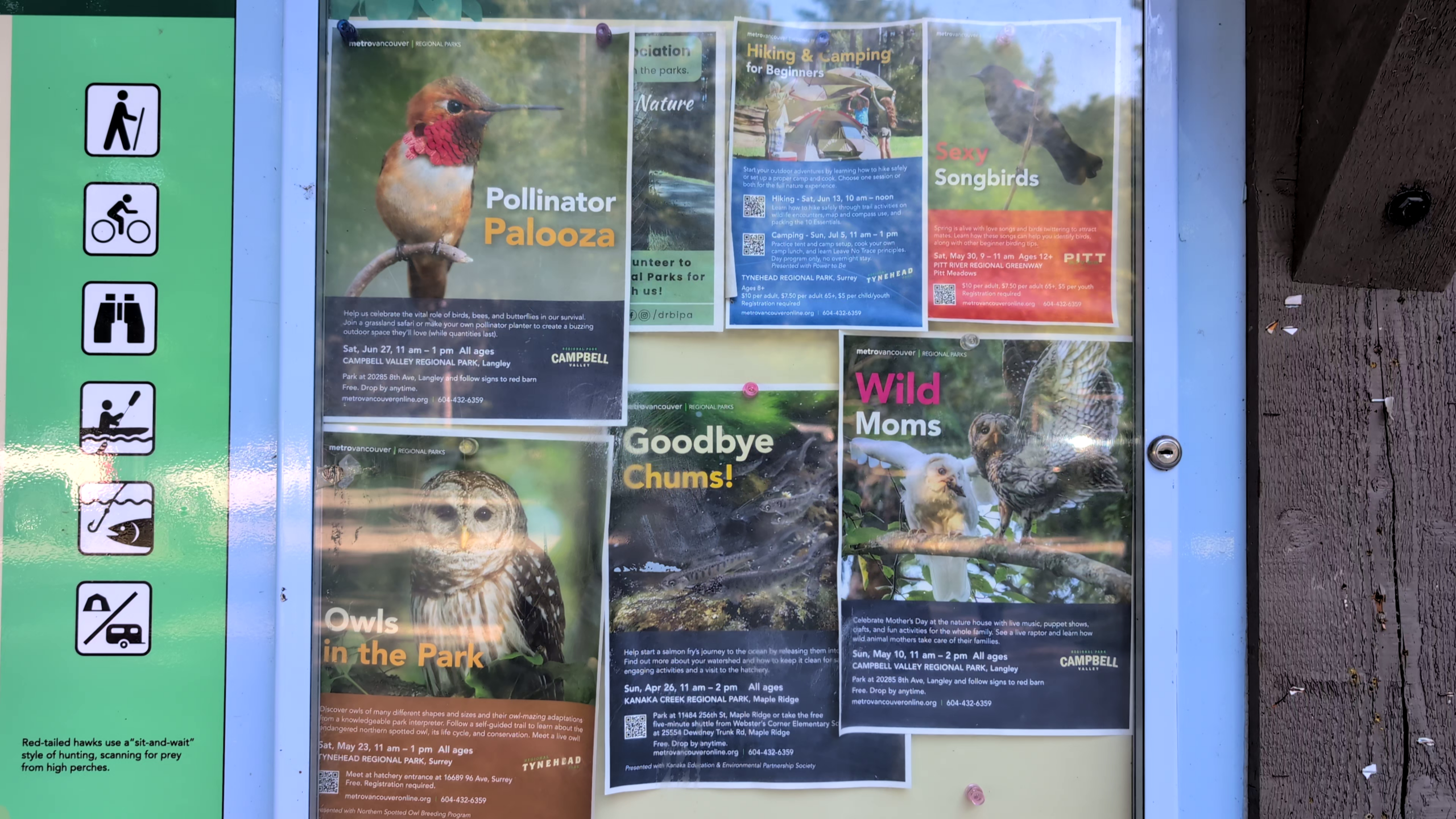
As a Fraser River alluvial island, Brae Island supports a mix of riparian forest and freshwater marsh habitat. Visitors regularly spot beavers along the water’s edge and a variety of birds overhead, including raptors such as the great horned owl. The display boards along the main trail highlight some of the species found in the park, making it a worthwhile stop for casual birdwatchers as much as for a simple riverside walk.
Picnic Areas and the Beach
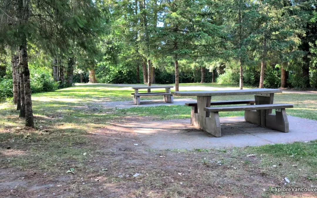
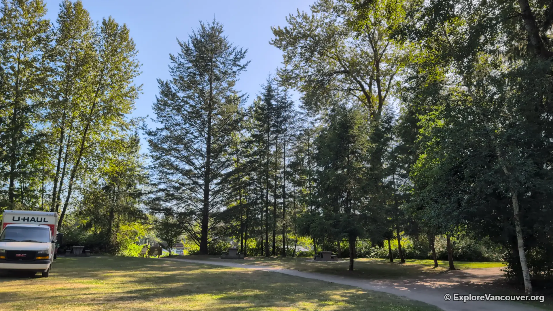
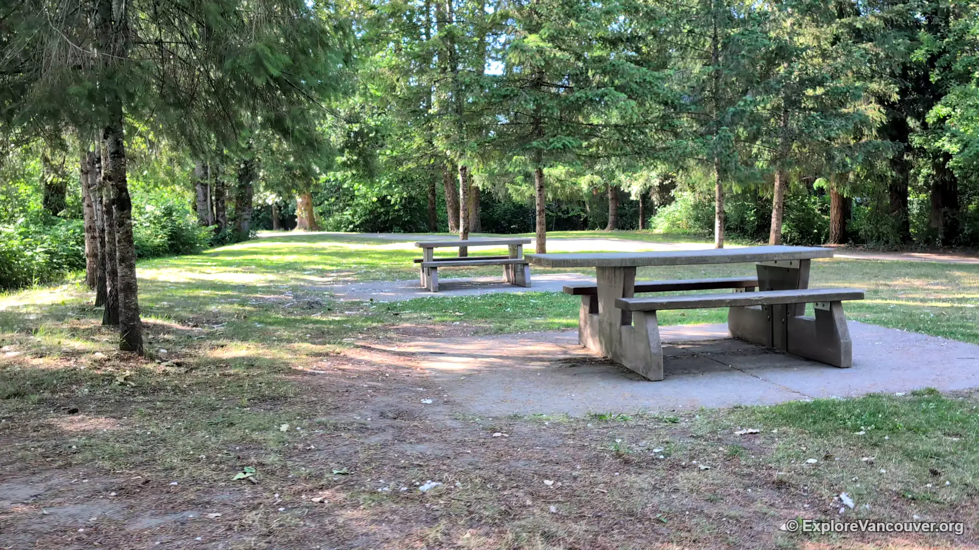
The day-use area near the parking lot includes picnic tables set among the trees, with an accessible picnic table available near the beach. During the warmer months, a sandy stretch of riverbank along the Fraser offers a spot to relax by the water, though this is a natural river beach rather than a supervised swimming area.
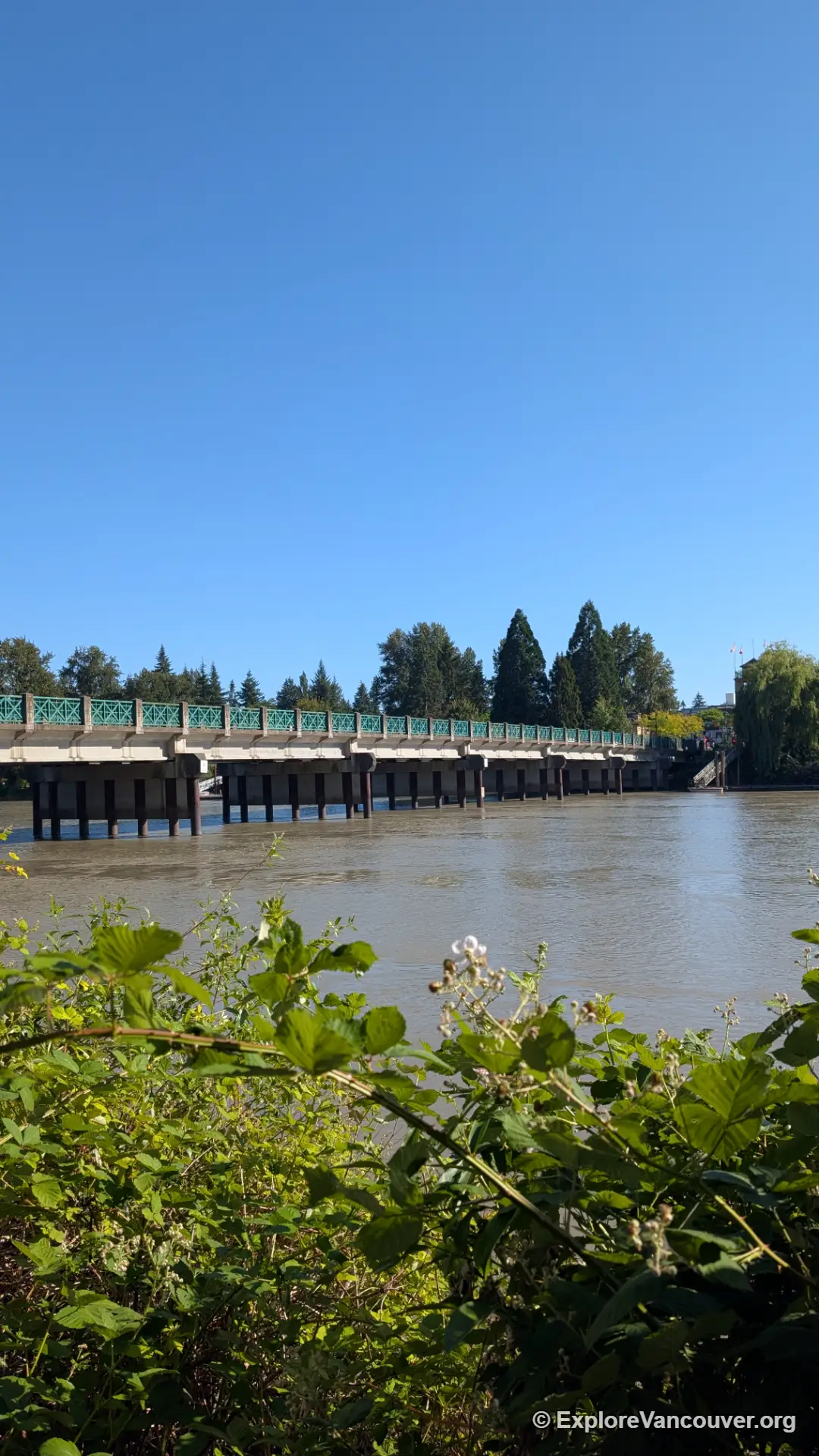
A short bridge separates Brae Island’s quiet trails and riverbank from the busy shops of Fort Langley Village, making it easy to combine both in a single afternoon.
Camping at Fort Camping
Part of the park is home to Fort Camping, a year-round private campground operating under license from Metro Vancouver. It offers tent sites, RV sites, group camping, and a handful of tent cabins, along with the park’s only designated fire rings. Because rates and availability change seasonally, check the official Fort Camping website directly before planning a stay.
Photo Gallery
Frequently Asked Questions
Is Brae Island Regional Park free to visit?
Yes, the day-use area, trails, and picnic spots are free to access. Fort Camping, the campground within the park, charges separately for overnight stays.
Are dogs allowed at Brae Island Regional Park?
Yes, dogs are welcome throughout the park but must be kept on leash and under control at all times, both to protect wildlife and other visitors.
How do I get to Brae Island Regional Park from Fort Langley Village?
Continue north on Glover Road through the village and cross the bridge onto McMillan Island. It is roughly a ten minute walk from the village centre to the park entrance.
How long is the main trail?
The Tavistock Point Trail is roughly two kilometres one way from the trailhead near Fort Camping to Tavistock Point, with a connecting loop trail that adds some additional distance through the forest.
Is there a beach for swimming?
There is a sandy stretch of riverbank in the day-use area, but it is not a supervised or designated swimming beach, so visitors should use caution around the river current.
Can I camp at Brae Island Regional Park?
Yes, through Fort Camping, a private campground operating within the park with tent, RV, group, and tent cabin options. Check their official site for current rates and availability.
Make a Day of It in Fort Langley
Pair your walk on Brae Island with the shops and cafes of Fort Langley Village, or step further back in time at the Fort Langley National Historic Site.
Explore Fort Langley Village Visit Fort Langley National Historic Site