
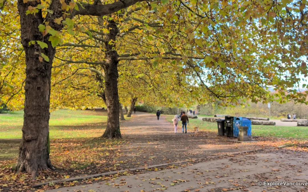
Quick Info
- Top pick: Stanley Park Seawall, Vancouver
- Best season: Year round, with the driest and most comfortable conditions from late spring to early fall (see the best time to visit Vancouver)
- Best time of day: Morning for quiet trails, late afternoon for light and sunsets on waterfront routes
- Difficulty: Flat or gently sloping paths, suitable for most ages and fitness levels
- What to bring: Comfortable shoes, water, a rain jacket and layers for coastal wind
- Cost: Most walks are free, a few gardens charge admission, check the official site or Metro Vancouver Regional Parks for current details
Metro Vancouver is full of flat, scenic walks that need no hiking experience, from seawall loops and lakeside paths to garden strolls and tidal flats. The list below covers easy walks across Vancouver, Burnaby, Richmond, the Tri-Cities, the North Shore, Surrey, Delta, White Rock and Fort Langley, so you can find a good one close to wherever you are. For longer outings, see our guides to the best fall hikes in Vancouver and the best beaches in Vancouver.
1. Stanley Park Seawall, Vancouver
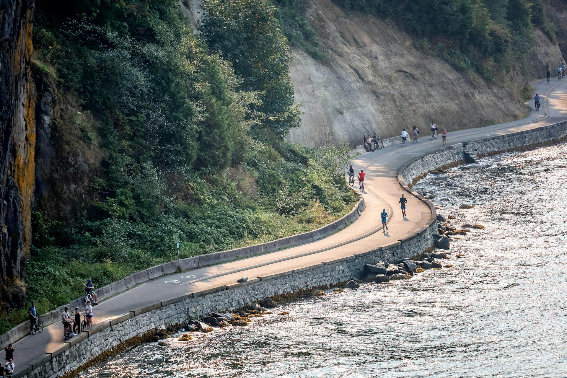
The seawall wraps about 9 kilometres around Stanley Park with separate paths for walkers and cyclists, and it is flat the whole way. You do not need to finish the loop. A short section, such as Third Beach to Second Beach, gives you mountain, skyline and forest views in under an hour.
2. Lost Lagoon, Stanley Park
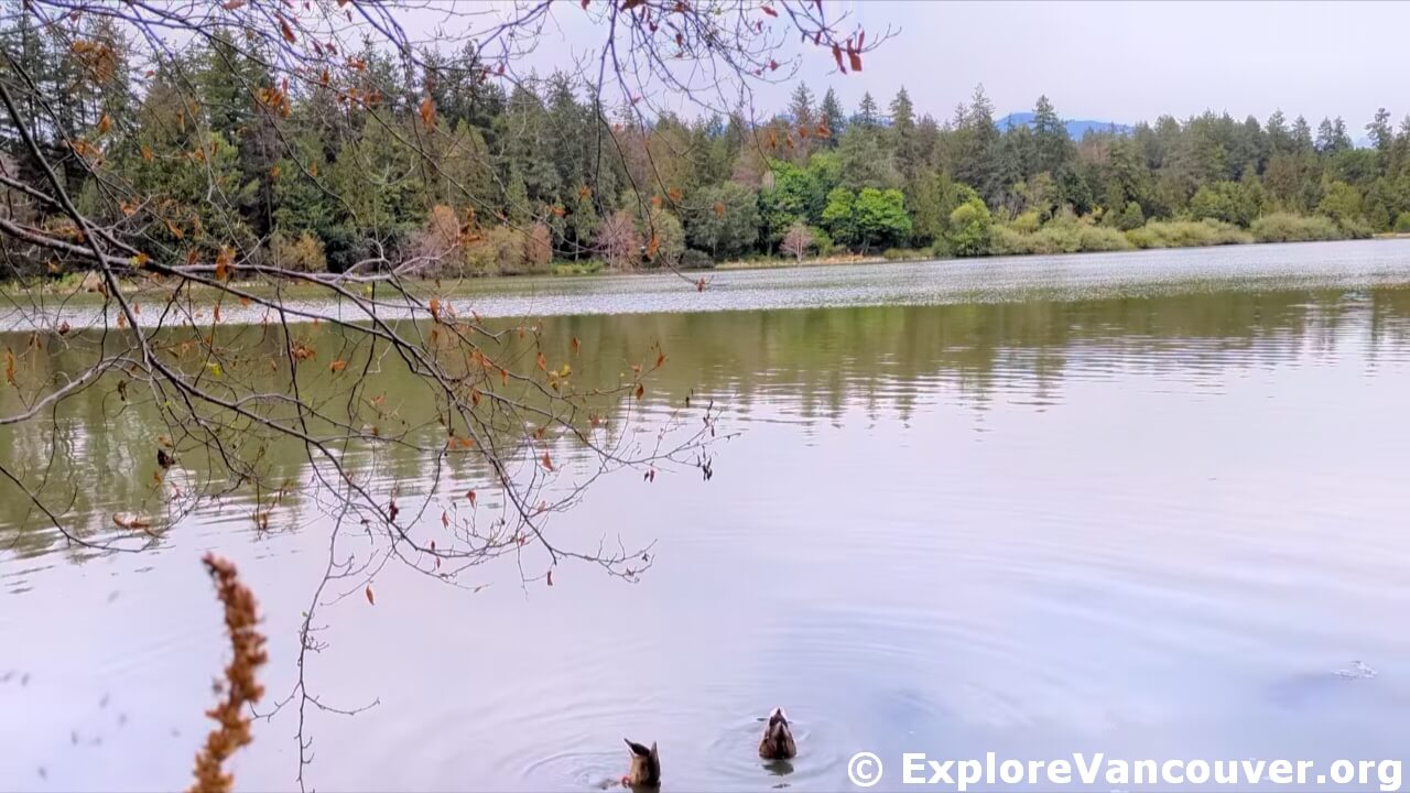
A flat path circles this freshwater lagoon at the entrance to Stanley Park. Swans, herons and ducks are regular sights, and the fountain makes a good midpoint. It is an easy first walk before heading onto the seawall.
Also see: Stanley Park
3. Beaver Lake, Stanley Park
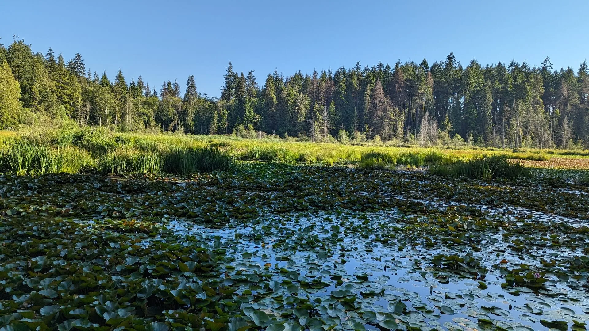
Shaded forest paths lead from the seawall to this small, lily-covered pond in the centre of Stanley Park. The walk is quiet and gentle, and the pond is good for birds. Water lilies cover much of the surface in season.
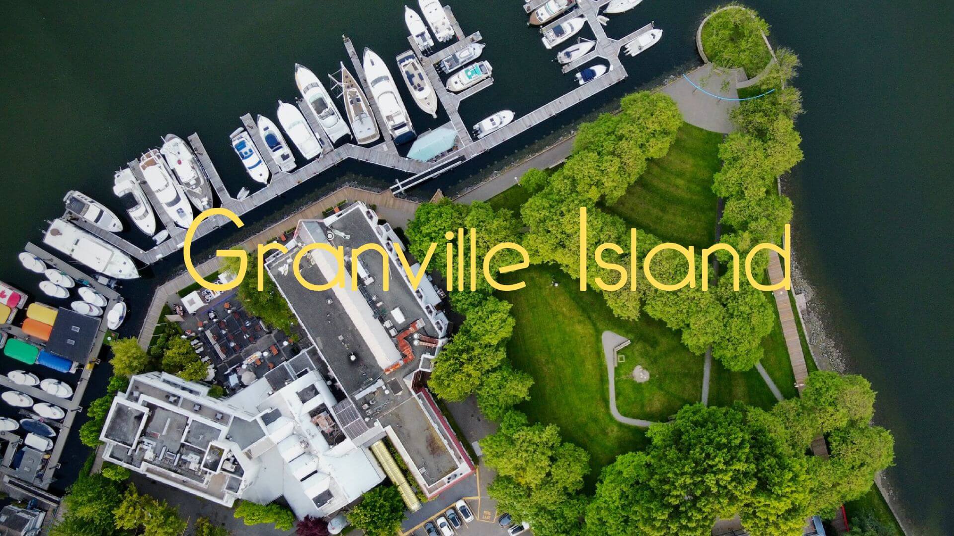
4. False Creek Seawall and Granville Island, Vancouver
The paved seawall along False Creek links Science World, Olympic Village, Granville Island and Yaletown on one flat waterfront route. Walk it in sections and stop at the Granville Island Public Market for a break.
Also see: Science World
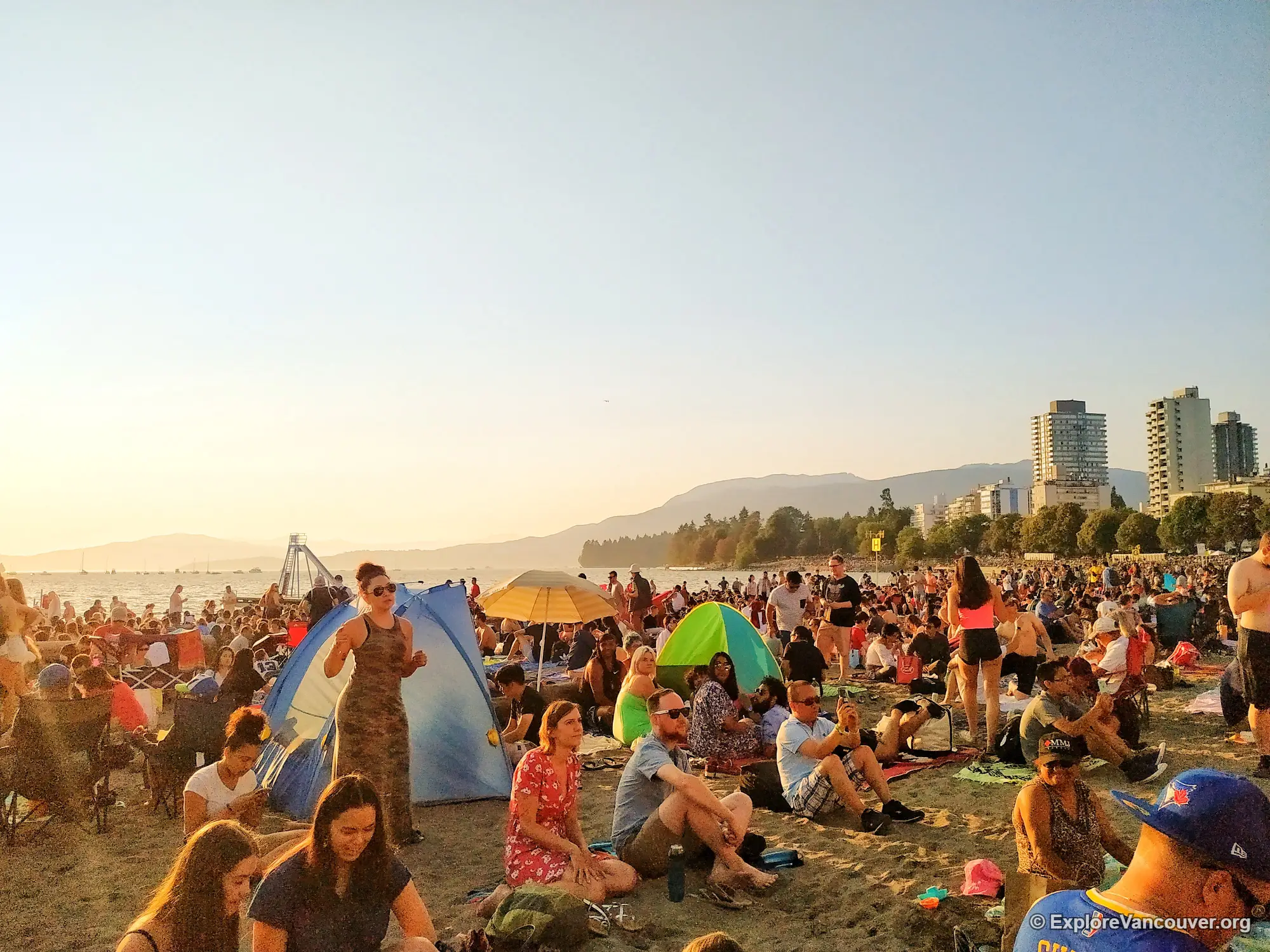
5. English Bay Beach and Sunset Beach, Vancouver
This flat waterfront stretch connects English Bay Beach, Sunset Beach and the start of the seawall, with ships at anchor in the bay and sunsets over the water. Summer evenings are busy, so go earlier in the day for a calmer walk.
Also see: Sunset Beach Park
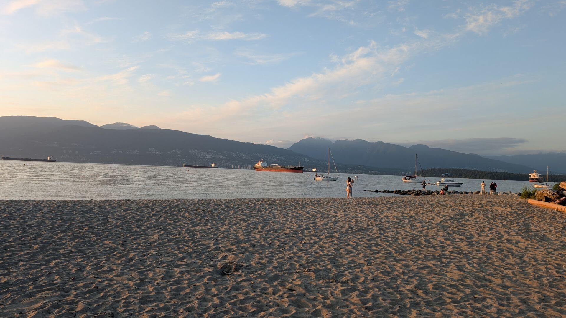
6. Jericho Beach to Spanish Banks, Vancouver
A mostly paved, flat route runs along the water from Kitsilano Beach through Jericho and Locarno to Spanish Banks. Views across English Bay to the downtown skyline stay with you the whole way, and the wide tidal flats at Spanish Banks are best at low tide.
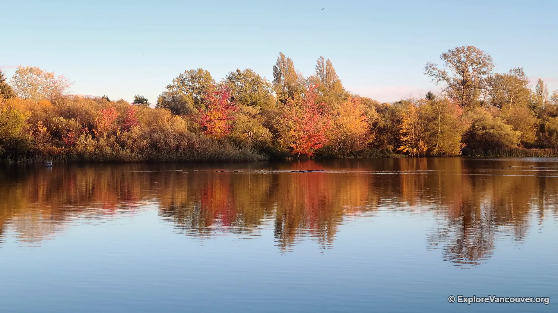
7. Trout Lake, Vancouver
A gentle path circles Trout Lake inside John Hendry Park, with North Shore mountain views, a small beach and plenty of ducks. Fall colour here is one of the best in East Vancouver.
8. VanDusen Botanical Garden, Vancouver
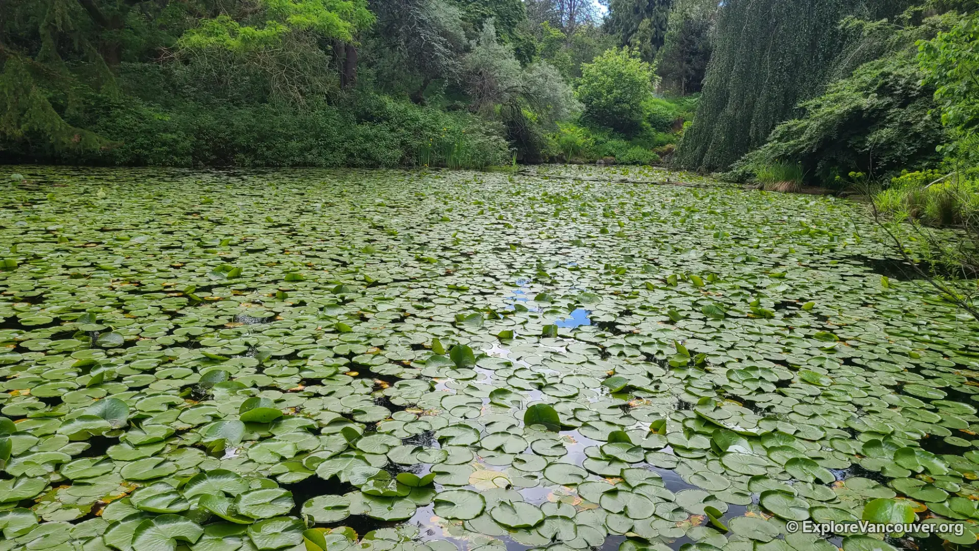
Level garden paths pass lakes, open lawns and themed plantings, which makes it one of the most relaxed walks in the city. Admission is charged, so check the official VanDusen site before you go.
9. Everett Crowley Park, Vancouver
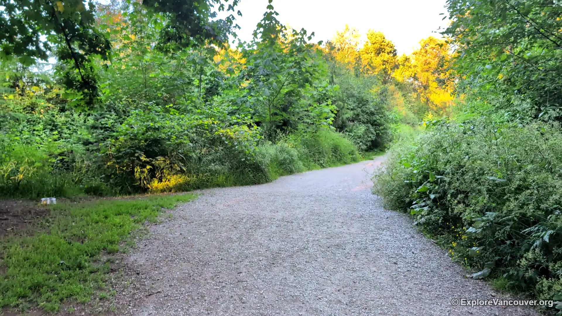
A former landfill in southeast Vancouver, now a wooded park with meadows, ponds and wide, easy trails. It is much quieter than Stanley Park. Watch for the posted coyote notices and keep children and dogs close.
10. Crab Park, Vancouver
A waterfront park at the foot of Main Street with a flat shoreline path, a small beach and open views of the harbour, cruise ships and the North Shore mountains.
11. New Brighton Park, Vancouver
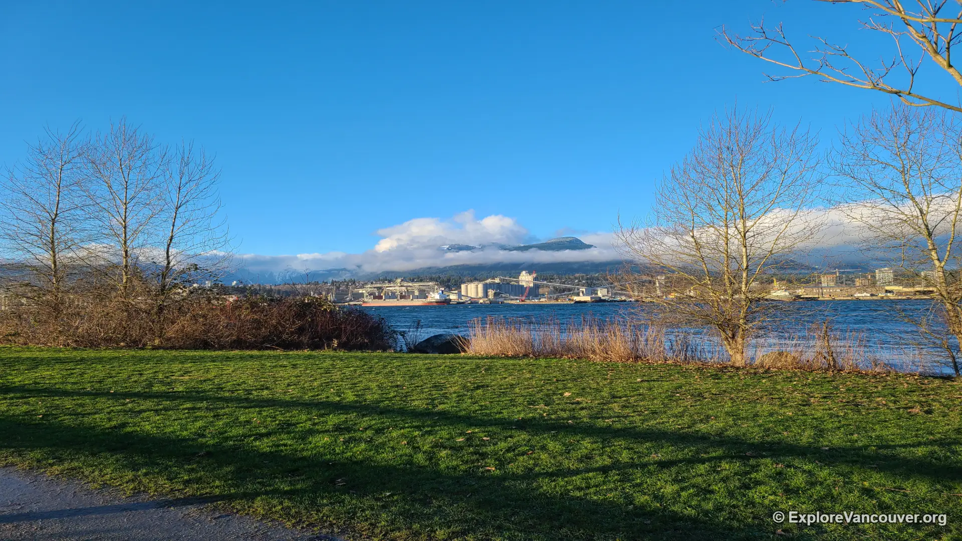
A flat shoreline path runs along Burrard Inlet in this East Vancouver waterfront park, with a beach, views across to the North Shore mountains and an off-leash dog area.
12. Deer Lake Park, Burnaby
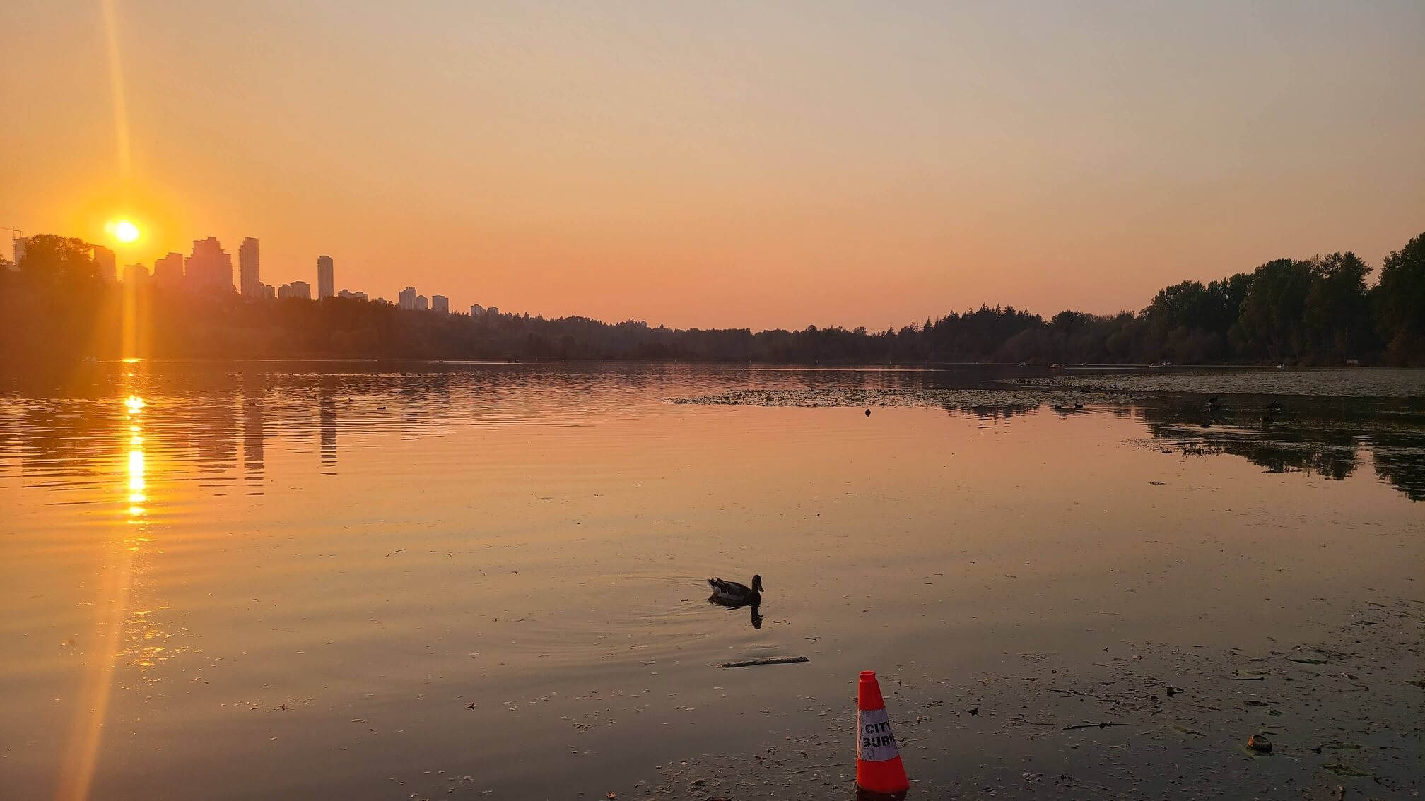
A flat loop of about 5 kilometres circles the lake, passing a beach area, a viewing tower and a pier. It is one of the easiest longer walks in Metro Vancouver, and sunset is the best time.
13. Fraser Foreshore Park, Burnaby
Flat paths follow the north bank of the Fraser River, with open river views, birds and quiet stretches away from traffic.
14. Barnet Marine Park, Burnaby
A short, flat shoreline trail on Burrard Inlet with a small beach and views across the water. It is a quiet option that suits a quick walk.
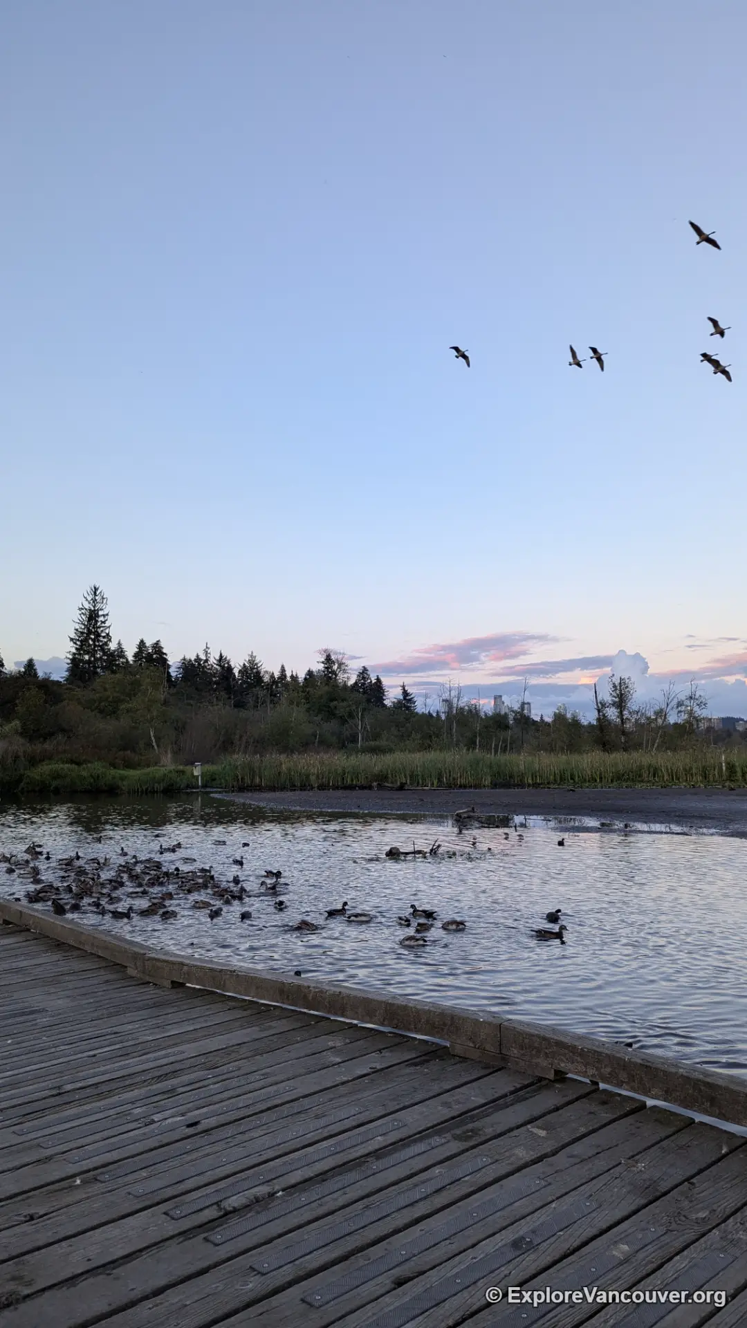
15. Burnaby Lake Regional Park, Burnaby
The largest lake in the Lower Mainland has flat trails along the shore and good wildlife viewing, including ducks, geese and beavers. Choose a short section for a quick walk or link several for a longer one.
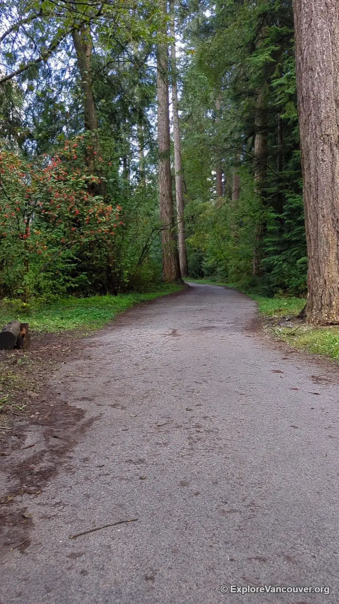
16. Central Park, Burnaby
Forest trails connect two ponds, open fields and a pitch and putt course. Squirrels and ducks make it a good family walk, and the paths are wide and well kept.
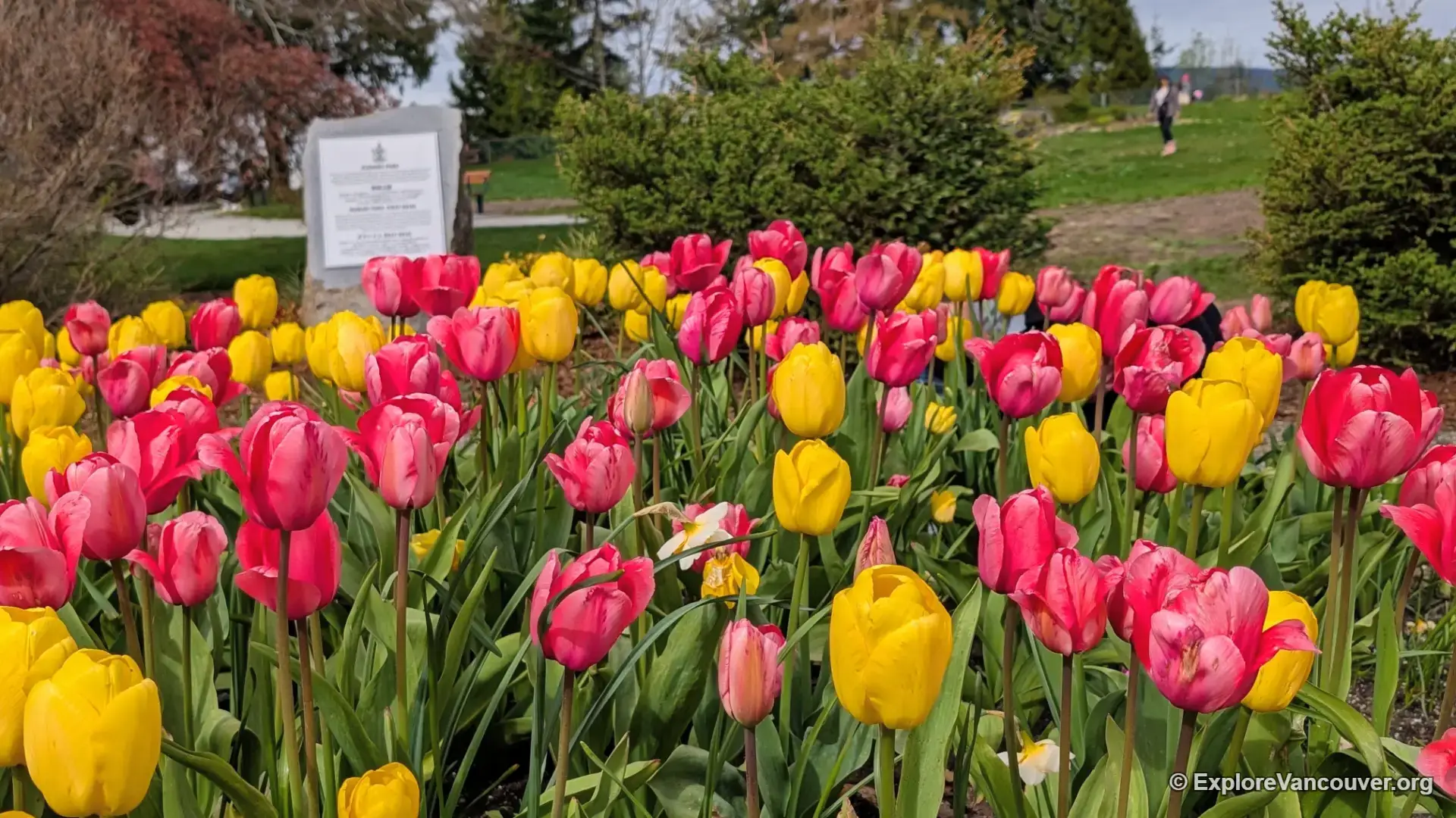
17. Kushiro Park, Burnaby Mountain
A short garden walk on Burnaby Mountain Park, with flower beds, tulips in spring and sculptures nearby. The paths are brief and easy, and the Playground of the Gods is close by for children.
Also see: Burnaby Mountain Park
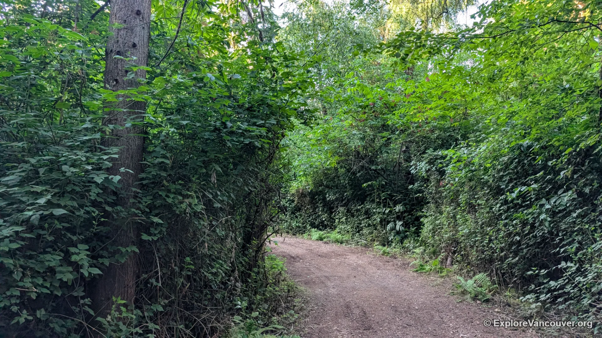
18. Richmond Nature Park, Richmond
Short boardwalk and gravel loops cross a peat bog, with a nature house, playground and picnic area at the entrance. The trails are flat, shaded and short enough for small children.
19. Garry Point Park, Richmond
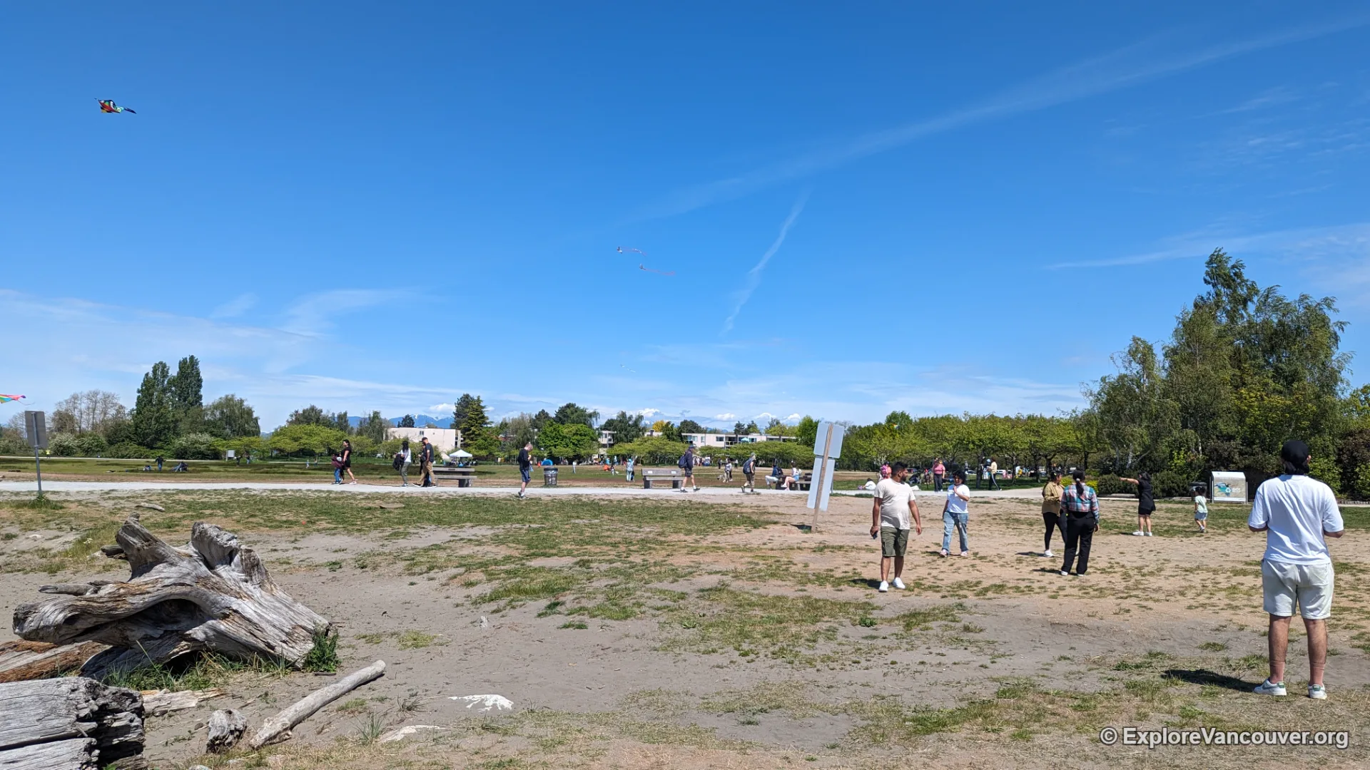
A flat waterfront path at the mouth of the Fraser River, with open views, kite surfers and cherry blossoms in spring. Steveston Village is a short walk away for fish and chips.
20. Terra Nova Rural Park, Richmond
Flat trails and dyke paths follow the north arm of the Fraser River at the northwest tip of Richmond, with open fields, a play area and wide river views. It is a quieter option than Steveston.
21. Garden City Lands, Richmond
Flat trails loop through open fields, wetland and meadow in the middle of Richmond. There is little shade, so bring a hat on sunny days.
22. Iona Beach Jetty, Richmond
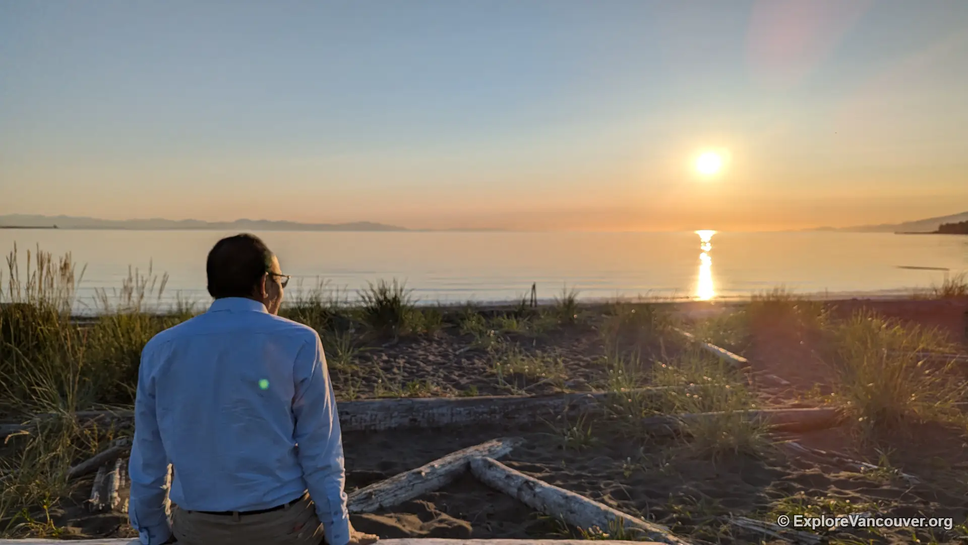
The jetty trail runs about 4 kilometres straight out into the Strait of Georgia on flat ground. There is little shade and plenty of wind, so bring layers. The upper trail is leash only for dogs, and transit does not reach the park.
23. Steveston Fisherman’s Wharf, Richmond
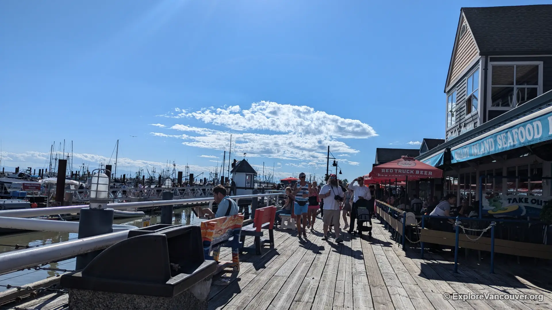
A flat boardwalk runs beside the working harbour, with fishing boats, gulls and sea views. Pair it with Garry Point Park for a longer waterfront walk.
Also see: Steveston Village
24. Como Lake Park, Coquitlam
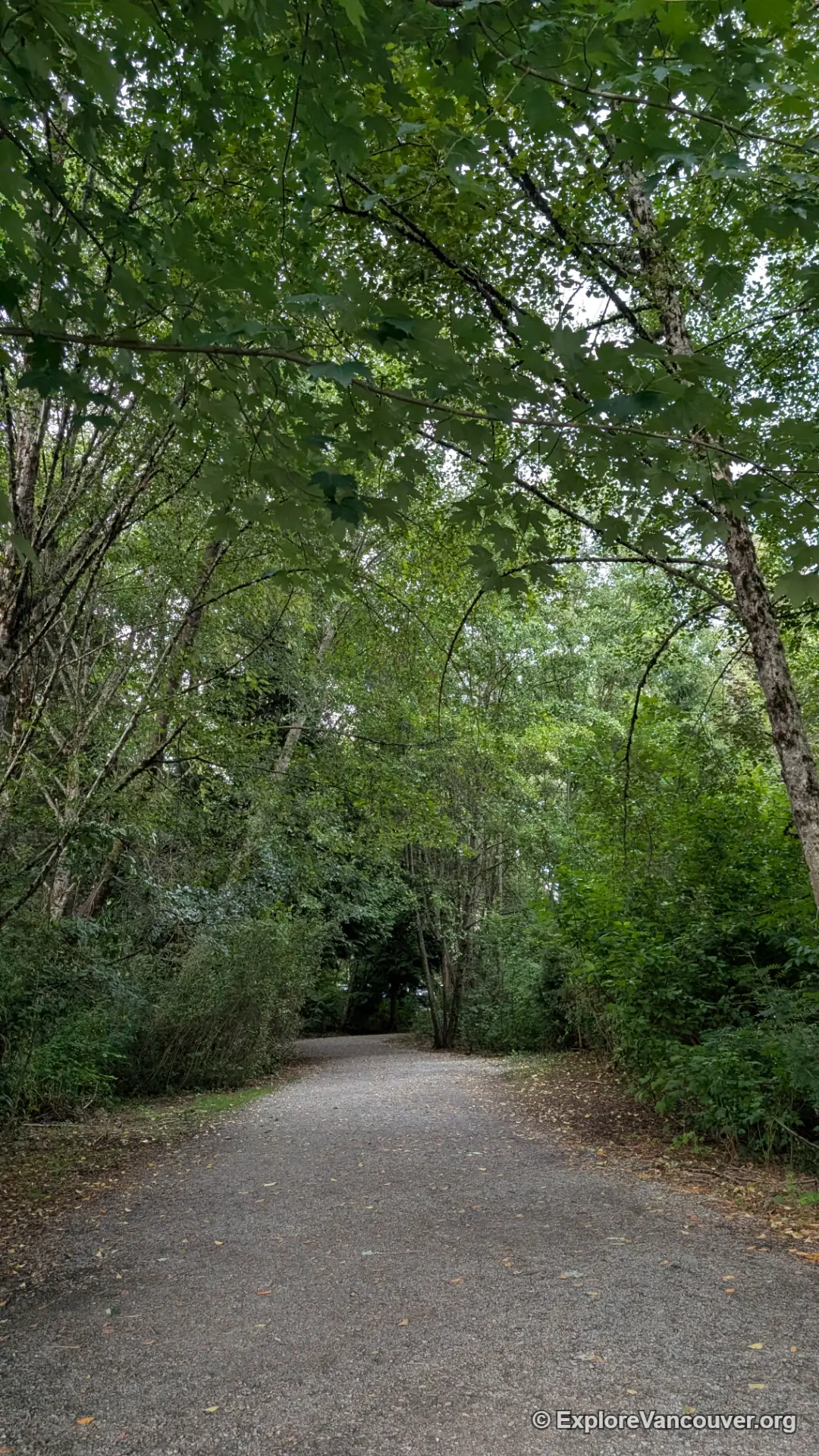
A paved loop circles the lake, with a walking pier, a lookout point, a playground and a display board showing the birds you are likely to see. It is a good first walk for beginners.
25. Traboulay PoCo Trail, Port Coquitlam
A flat, mostly gravel and paved trail follows the rivers and dykes around Port Coquitlam, with open views and easy access from several points. Walk any section you like.
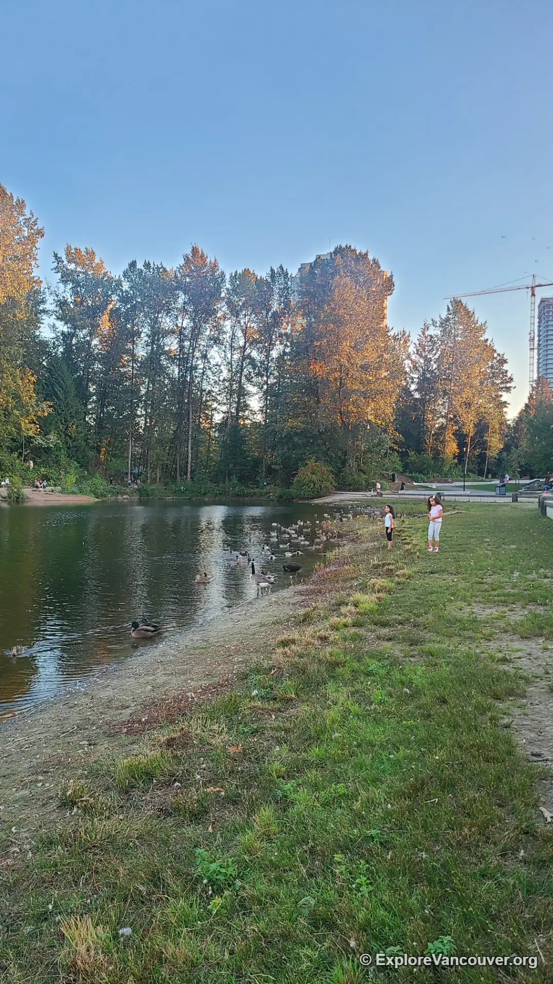
26. Lafarge Lake, Coquitlam
An easy paved loop sits in the middle of Town Centre Park, a short walk from Lafarge Lake-Douglas SkyTrain station. It is one of the simplest car-free walks in the Tri-Cities.
27. Mundy Park, Coquitlam
A large wooded park with a lake and wide forest trails on gentle terrain. Loops of different lengths make it easy to choose a walk that suits you.
28. Colony Farm Regional Park, Coquitlam
Flat, wide trails run along the Coquitlam River past fields, with mountain views in the distance. Herons, ospreys and other birds are regular sightings, and the park rarely feels crowded.
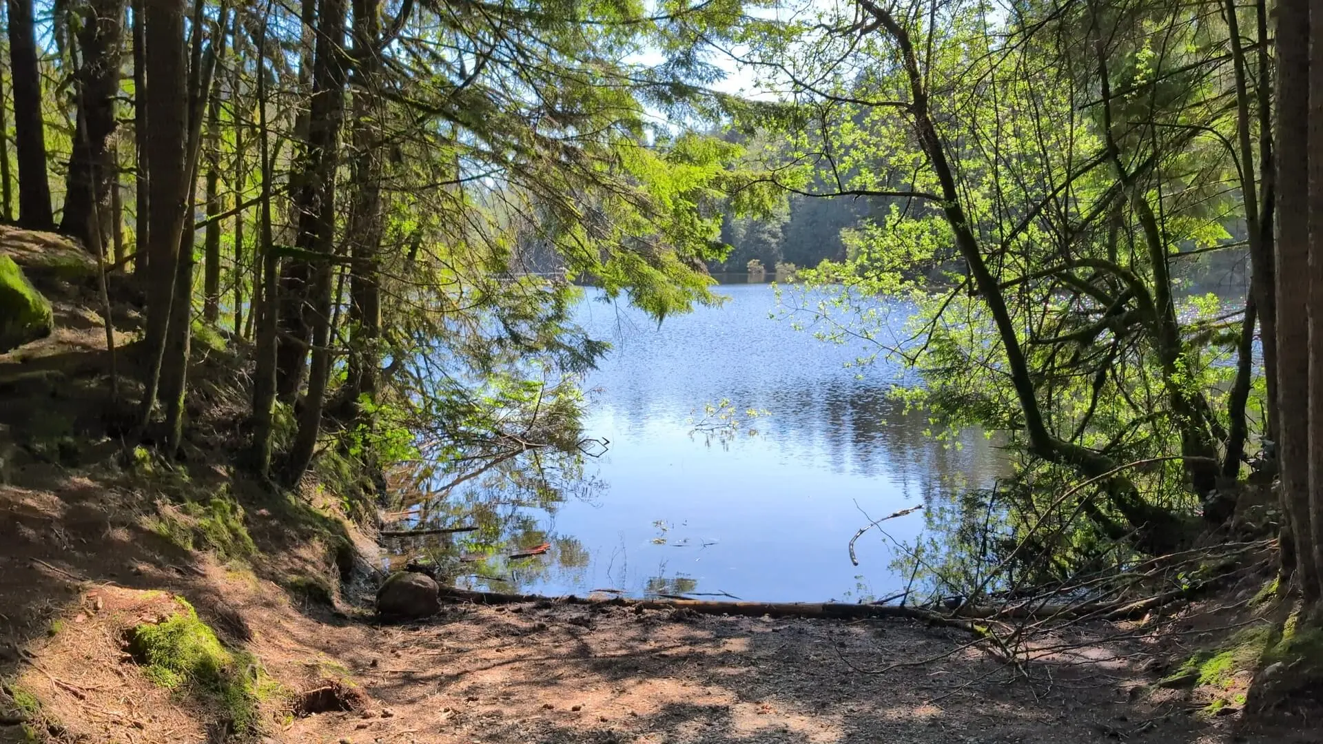
29. Rice Lake, North Vancouver
A well maintained loop of about 3 kilometres circles this calm lake in the Lower Seymour Conservation Reserve. It is a good year-round walk with big trees, wildlife and fishing docks.
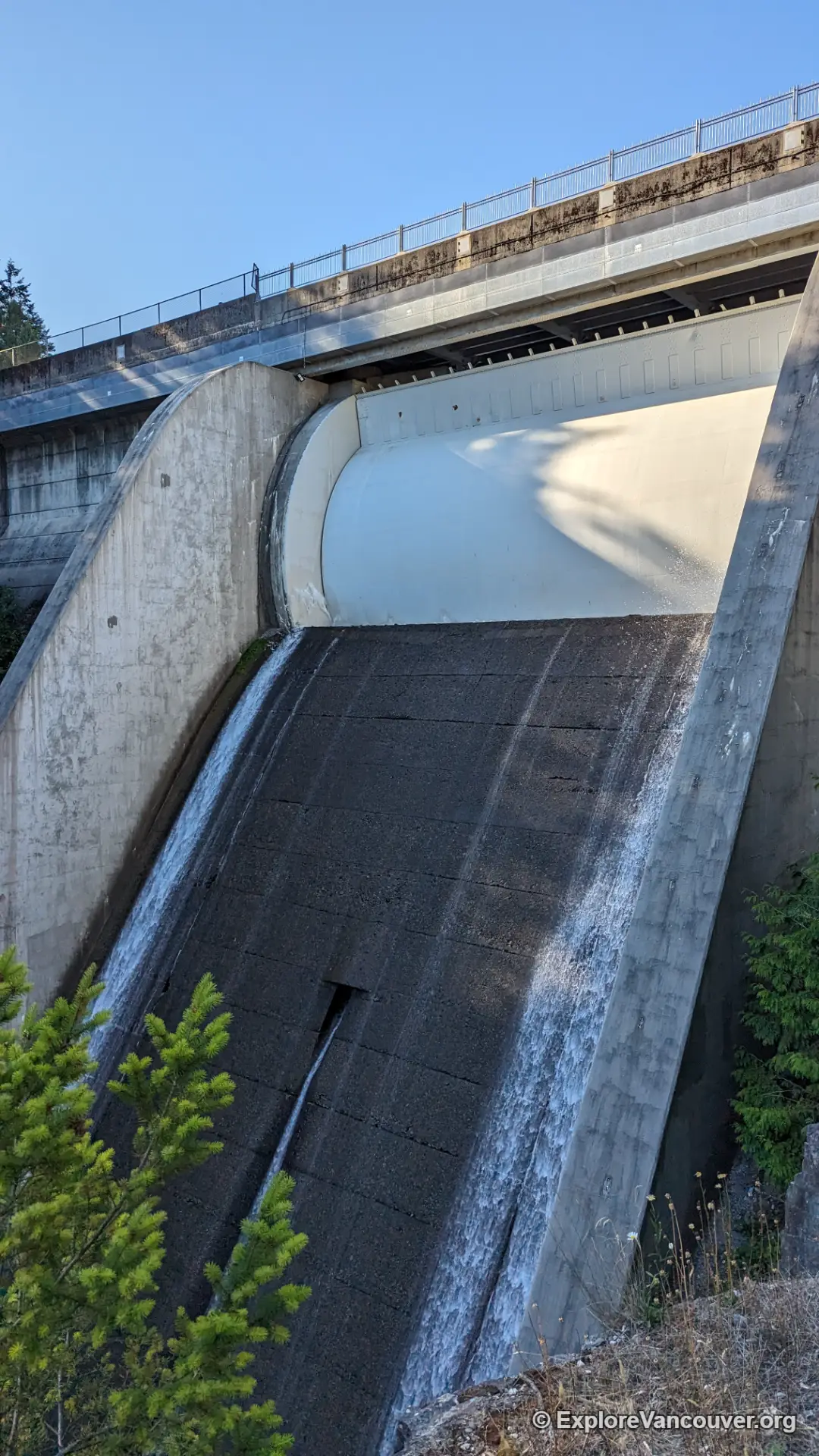
30. Capilano River Regional Park and Cleveland Dam, North Vancouver
Cleveland Dam has a flat viewpoint and open lawns, while the river and hatchery area downstream offers an easy riverside stroll. In fall you may see salmon at the hatchery.
Also see: Cleveland Dam
31. Capilano Pacific Trail, North Vancouver and West Vancouver
This trail links Ambleside Beach in West Vancouver to Cleveland Dam in North Vancouver, following the Capilano River through forest for much of the way. Walk a short section or connect the whole route.
Also see: Cleveland Dam
32. Maplewood Flats Conservation Area, North Vancouver
Short trails cross tidal mudflats and forest edge on the North Shore waterfront. It is a quiet place for an easy walk with plenty of birds.
33. Cates Park, North Vancouver
A waterfront park near Deep Cove with beaches, forest paths and views across Burrard Inlet. The trails are short and easy, and the beach is good for a rest.
34. Ambleside Park and the West Vancouver Seawall
A flat waterfront path runs along Ambleside Beach toward the mouth of the Capilano River, with views of Stanley Park and the Lions Gate Bridge. Cafes along Marine Drive make it easy to stop for a break.
Also see: Lions Gate Bridge
35. Whytecliff Park, West Vancouver
A small park above Horseshoe Bay with easy forest paths, a rocky beach and views over Howe Sound. Walk the short trails first, then explore the beach.
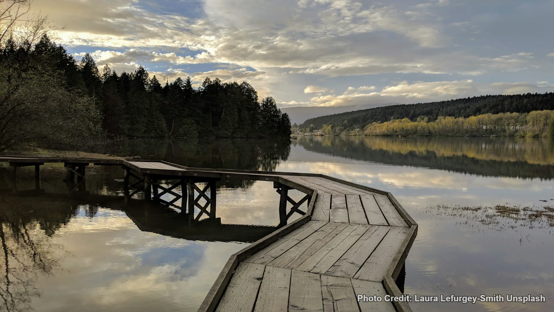
36. Rocky Point Park and Shoreline Trail, Port Moody
A flat waterfront trail follows the head of Burrard Inlet, passing Rocky Point Park, its recreational pier and the kayak rental. It is simple to extend or shorten.
Also see: Rocky Point Recreational Pier
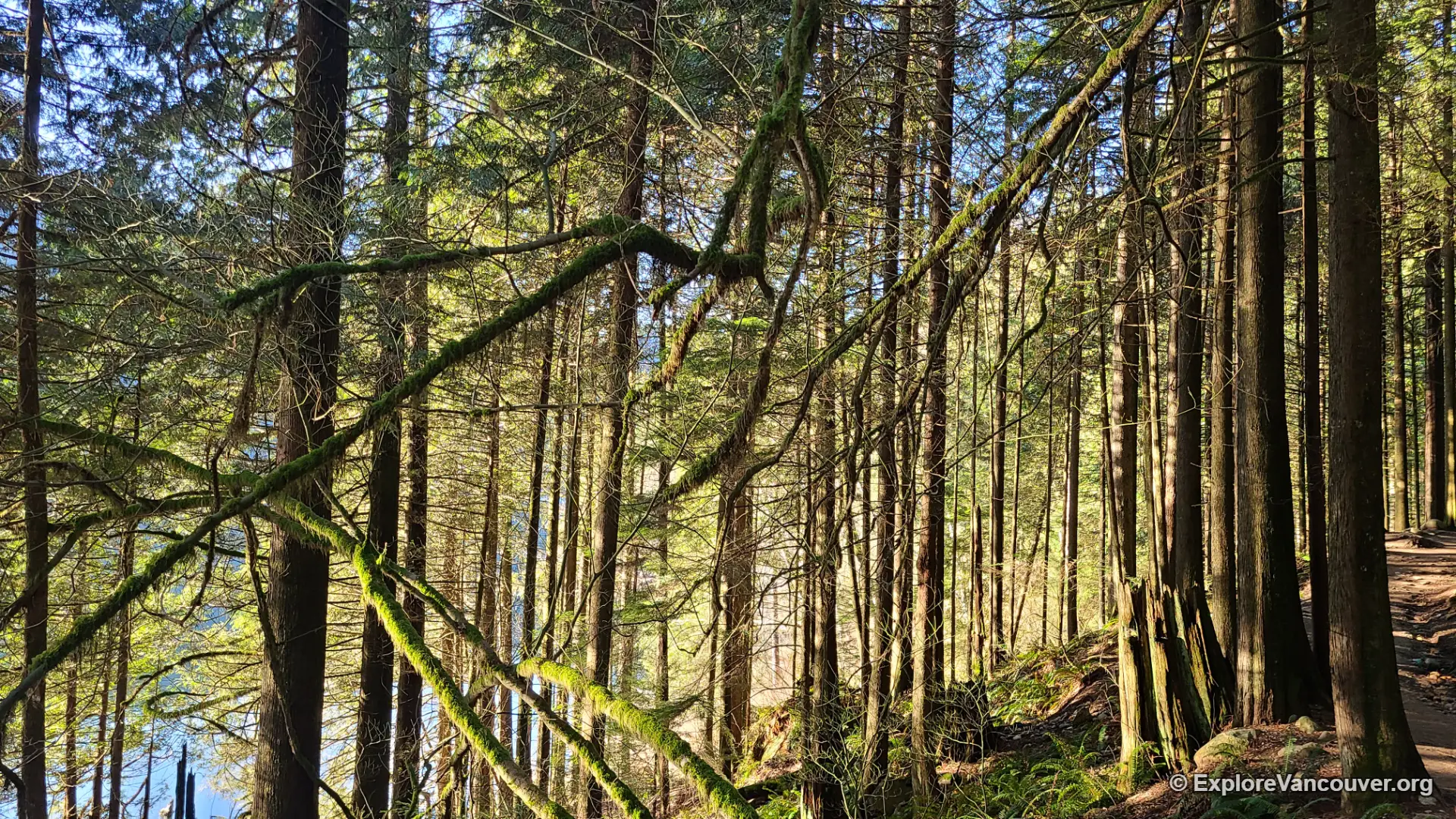
37. Buntzen Lake, Anmore
A forested lakeside trail follows the calm water, with beaches and picnic areas along the way. Check the Metro Vancouver site for current access and parking rules before you drive out.
38. Sasamat Lake, Belcarra Regional Park
A calm lake in Belcarra Regional Park with a shoreline trail and sandy beach at White Pine Beach. It is an easy walk with swimming nearby in summer.
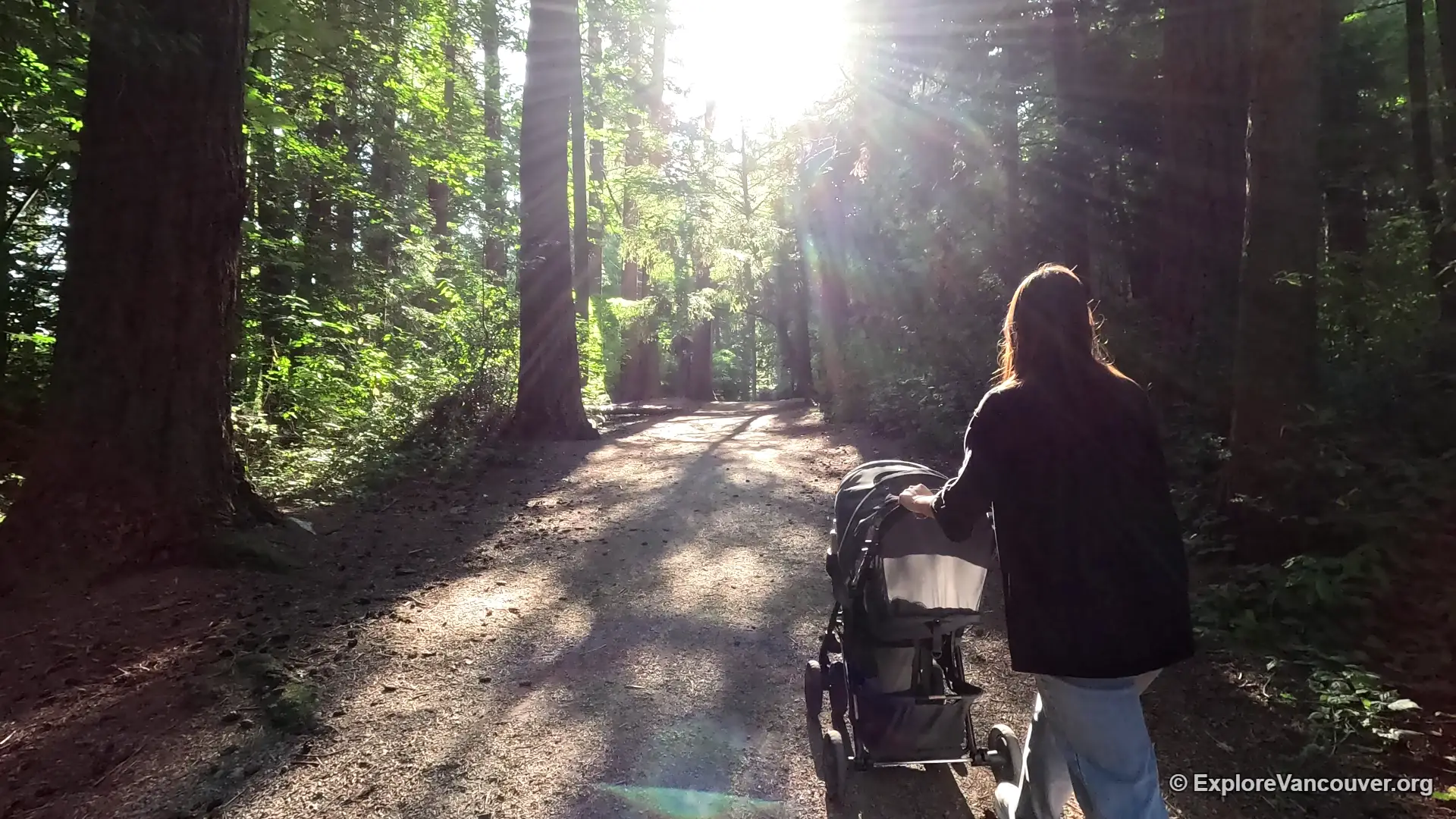
39. Redwood Park, Surrey
Shaded trails wind through tall redwood trees and mixed forest in South Surrey. The paths are gentle, and a history signboard explains how the park came to be.
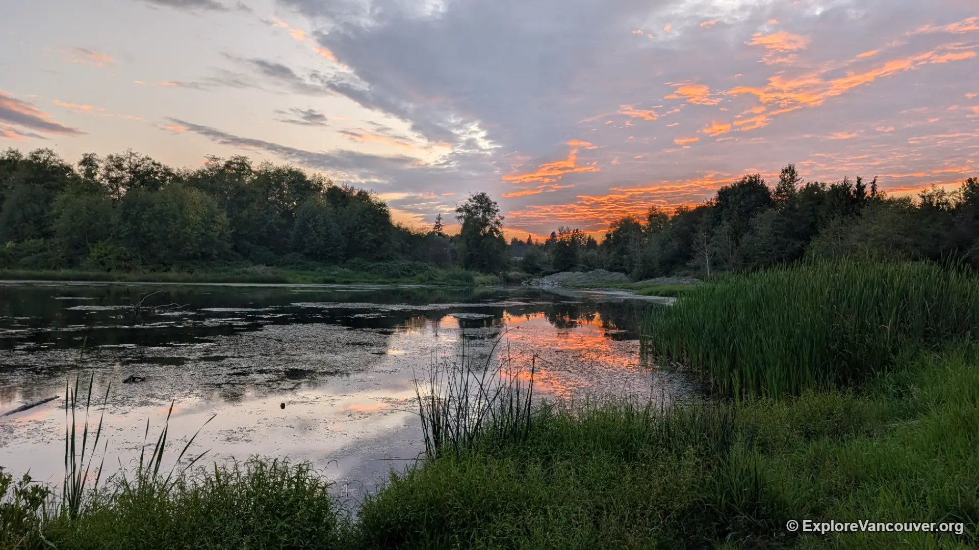
40. Surrey Lake Park, Surrey
A quiet trail circles a small lake, ideal for a short, peaceful walk without crowds.
41. Bear Creek Park, Surrey
Flat, paved paths wind past mature trees, gardens and a playground, so the park suits families and short walks.
42. Tynehead Regional Park, Surrey
Gentle forest and meadow trails follow the Serpentine River, with a fish hatchery nearby. It is a calm choice if you want an easy walk away from busier parks.
43. Crescent Beach and Blackie Spit, Surrey
Flat paths follow the spit and the sandy beach in South Surrey, with views across Boundary Bay and plenty of shorebirds. It is a good low-effort walk on a clear day.
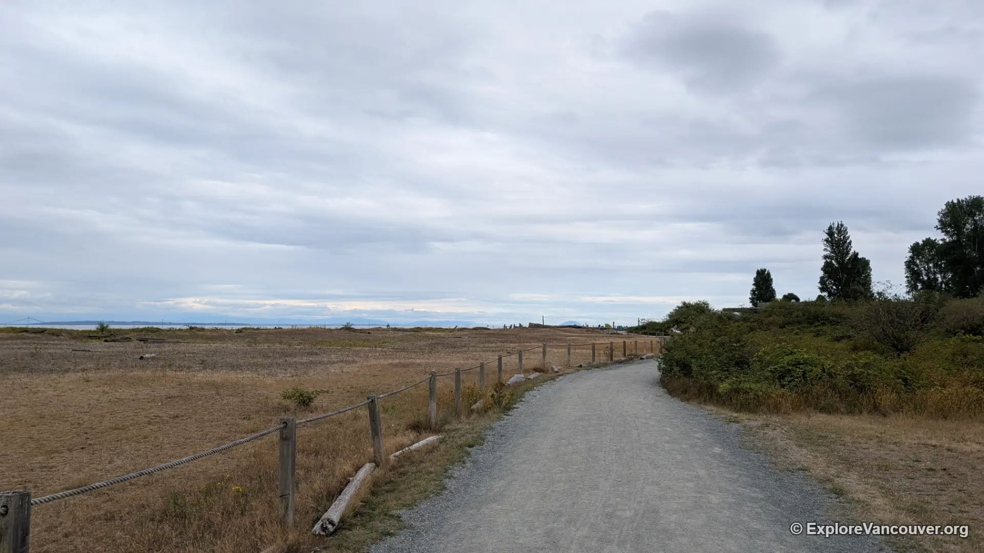
44. Boundary Bay Dyke and Centennial Beach, Delta
The dyke trail runs flat beside the tidal flats, and Centennial Beach has Mount Baker views and a long walk at low tide. It is exposed to wind, so dress in layers.
Also see: Centennial Beach
45. Deas Island Regional Park, Delta
Flat riverside trails run beside the Fraser River in this Metro Vancouver regional park, with picnic areas, birds and views of passing ships.
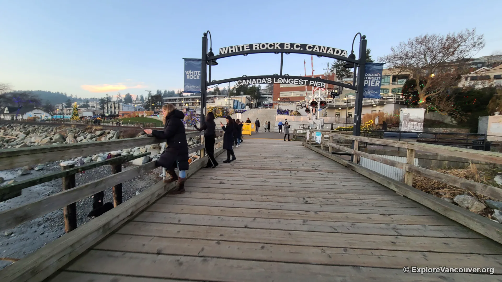
46. White Rock Promenade, White Rock
A flat promenade follows the beach to the pier, which is the longest wooden pier in Canada. The White Rock boulder sits on the beach nearby. Cafes and restaurants line the route.
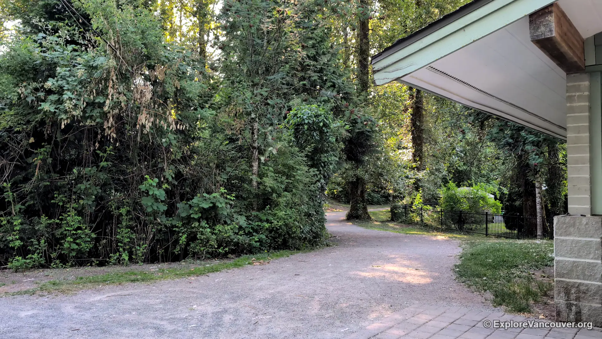
47. Brae Island Regional Park, Fort Langley
Flat riverside and forest trails with picnic benches and a posted bird sighting board. Fort Langley Village is a short drive away.
48. Derby Reach Regional Park and the Fort to Fort Trail, Langley
Derby Reach has riverside paths along Edgewater Bar and a forest loop on the Houston Trail near the historic area. The Fort to Fort Trail connects it with Fort Langley for a longer walk.
Also see: Fort Langley National Historic Site
49. Aldergrove Regional Park, Langley
Popular with families for its easy trails, open landscape and multiple picnic areas. The paths are gentle and shaded in places.
50. Campbell Valley Regional Park, Langley
Wide, mostly flat trails cross meadows, forest and wetland, and the park stays quiet outside peak weekends. Allow time for birdwatching along the way.
Tips for easy walks in Metro Vancouver
- Check the weather and tide times before walking waterfront routes like Spanish Banks, Boundary Bay and Iona, since low tide opens up wide flats and wind can be strong
- Wear shoes with grip, because forest and bog boardwalks can be wet and slippery in fall and winter
- Bring a rain jacket year round, since showers can arrive quickly
- Stay on marked paths and keep dogs leashed where rules require it, especially near wildlife areas
- Pair a walk with a nearby attraction, such as Garry Point with Steveston Village or Lost Lagoon with the seawall
- Take transit for Stanley Park, False Creek, English Bay, Trout Lake and Lafarge Lake, and drive for Iona, Colony Farm and the regional parks
Frequently Asked Questions
What is the best easy walk in Metro Vancouver?
The Stanley Park Seawall is the most popular, and you can walk any section of it. Lost Lagoon, Deer Lake and Como Lake are also easy and scenic.
Which easy walks are good for beginners?
Como Lake Park, Lost Lagoon and Deer Lake Park have flat, well defined loops with benches and views, making them good first walks.
Are these walks free?
Most are free to enter. Gardens such as VanDusen Botanical Garden charge admission, so check their official sites.
Which easy walks can I reach without a car?
The Stanley Park Seawall, False Creek, English Bay, Jericho to Spanish Banks, Trout Lake and Lafarge Lake are all reachable by transit. Iona Beach Regional Park is not.
When is the best time of year for an easy walk in Vancouver?
Late spring to early fall is the driest period. Fall brings colour at places like Trout Lake, and cherry blossoms at Garry Point make spring a good time too.
Planning more outdoor time? Read our guides to the best beaches in Vancouver, the best gardens in Metro Vancouver and bird watching in Metro Vancouver.